What is recorded here
Fairy fort in Lahard, County Cavan: a 46m earthen ring on a drumlin summit, entrance southeast, now levelled. People may have circled it, marked it, or avoided it; the land kept the shape long enough for others to repeat it. What is gone is not nothing, but removed from the place where it could be seen.
An earlier report (OPW 1969) describes a raised circular area (int. dims. 46m E-W; 45m N-S) enclosed by a low earthen bank. Original entrance was at SSE. Situated on the summit of a drumlin hill. Site has been levelled.
The above description is derived from the published 'Archaeological Inventory of County Cavan' (Dublin: Stationery Office, 1995). In certain instances the entries have been revised and updated in the light of recent research.
Date of upload/revision: 22 December 2008
The monument record does not grant public access. Check the route and ask the landowner before entering private land.
- What survives
- Recorded monument
Places near here
 Drumgoon Bog WoodForest · 835 yd
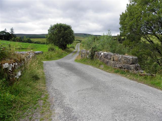 Derries UpperMountain / peak · 1287 yd
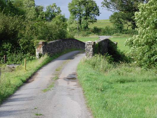 bridgebridge · 1.0 mi
 Creenagh GlebeMountain / peak · 1.0 mi
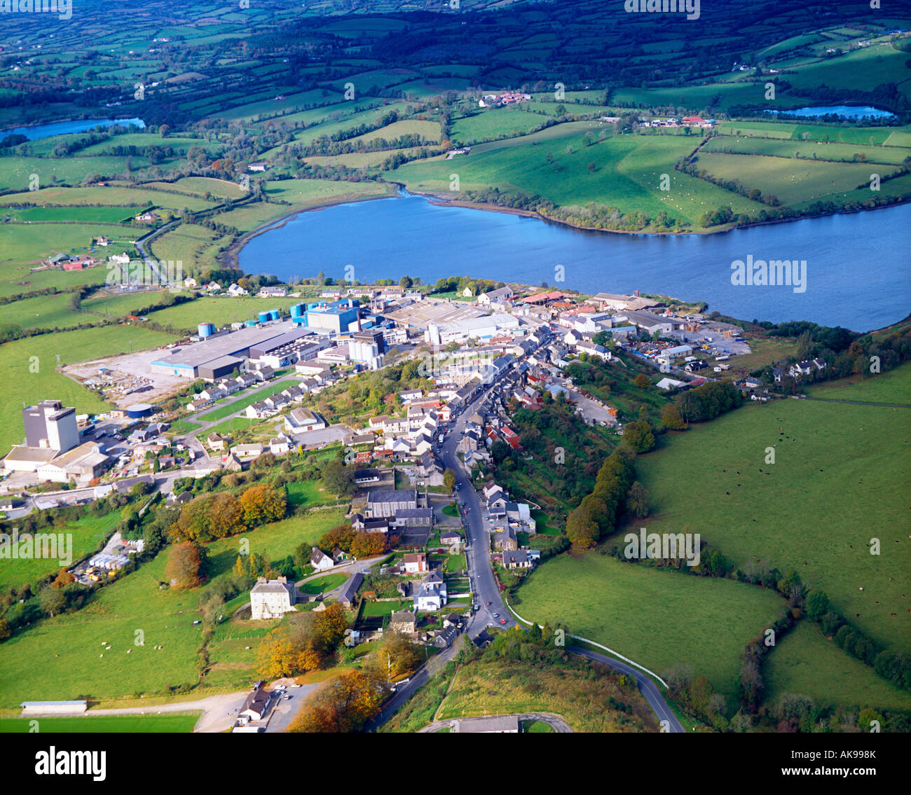 IndicatedFairy fort / earthen ringfort · 1.1 mi
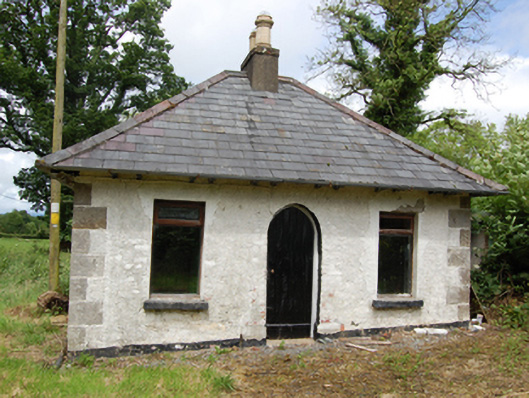 Tully Housegate lodge · 1.1 mi
 Old FortEnclosure, large enclosure · 1.6 mi
 Inch IslandIslet · 1.6 mi
 Trinity Island WoodForest · 1.6 mi
 Killykeen Forest ParkForest · 1.9 mi
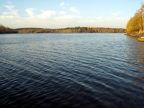 Lough OughterLake and island landscape · 1.9 mi
 Woodenhouse BayBay · 2.0 mi