What is recorded here
Lacknahaghny holds a twenty-five metre earthen ring where human hands built a boundary the land still remembers. cattle may circle it now, but the shape resists forgetting. The drowned ditch has vanished, yet the bank remains tall enough to touch, marked by rain and grass rather than explanation.
In pasture. Circular area (diam. 25m) defined by earth and stone bank (H 1.2m). External fosse noted by Hartnett (1939, 69) no longer visible.
The above description is derived from the published 'Archaeological Inventory of County Cork. Volume 3: Mid Cork' (Dublin: Stationery Office, 1997). In certain instances the entries have been revised and updated in the light of recent research.
Date of upload/revision: 14 January 2009
The monument record does not grant public access. Check the route and ask the landowner before entering private land.
- What survives
- Recorded monument
Places near here
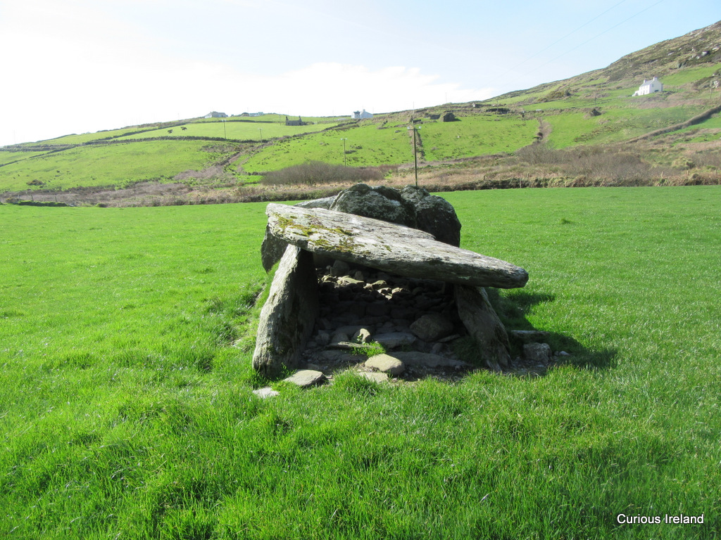 Wedge tomb in CaherbaroulWedge tomb · 711 yd
 Dolmen (Remains of)Wedge tomb · 793 yd
 BurrenMountain / peak · 854 yd
 Clonavrick CliffCliff · 1.6 mi
 post boxpost box · 1.7 mi
 St John the Baptist Roman Catholic Churchchurch/chapel · 1.8 mi
 Black WoodWood · 2.4 mi
 Neill's WoodWood · 3.6 mi
 Mullinhassig WaterfallWaterfall · 4.2 mi
 Knockduff Wind FarmVisitor information · 4.2 mi
 MusheraMountain / peak · 4.3 mi
 Battle of Macroombattle · 4.4 mi