What is recorded here
Oval enclosure (37.80m NW-SE) on a low natural rise in a marshy area. It was excavated in 1939 prior to the construction of the Blessington Reservoir under which it now stands. The site was defined by an earthen bank (average W. 6m, H. 0.60-0.75m) without evidence for an entrance or an external ditch. Evidence for a circular house/hut with wattle walls came from the centre of the site and the finds suggest an early medieval date. (O'Connor 1944, 53-56)
Compiled by: Gearóid Conroy and Matt Kelleher
Date of upload: 14 December 2012
The monument record does not grant public access. Check the route and ask the landowner before entering private land.
- What survives
- Recorded monument
Places near here
 St. Boodins WellHoly well · 1268 yd
 Enclosure in Ballyknockan (talbotstown Lower By.)Enclosure · 1.0 mi
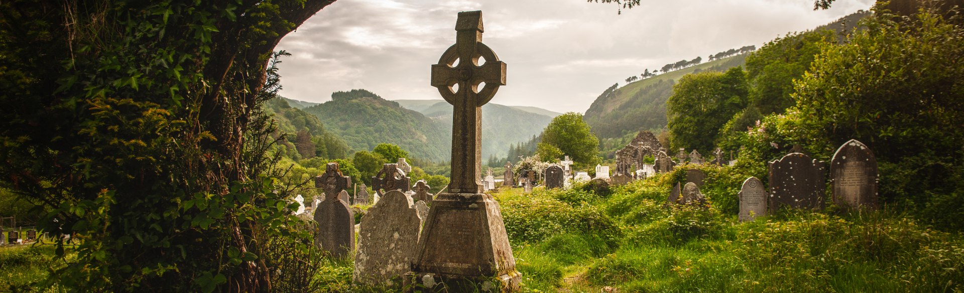 Templebodin Ch. (in Ruins)Church · 1.1 mi
 Land Grabber MemorialRuins · 1.2 mi
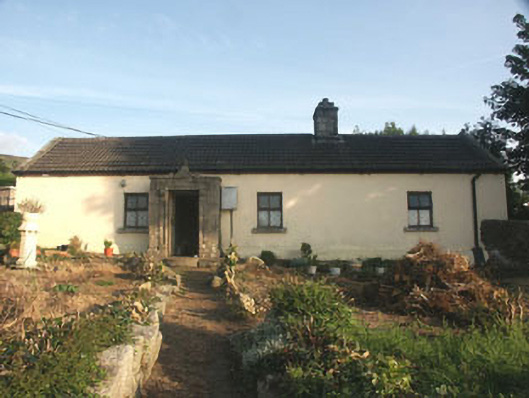 Saint Anthony'shouse · 1.3 mi
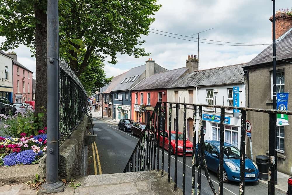 CastleCastle, unclassified · 1.4 mi
 Lacken – Mass Path LoopWalking route · 1.5 mi
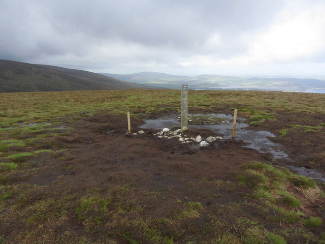 Black HillMountain / peak · 2.4 mi
 Castle (in ruins)Castle, tower house · 2.4 mi
 MoanbaneMountain / peak · 2.5 mi
 Artisans WorkshopsHeritage attraction · 3.0 mi
 National Bird of Prey CentreHeritage attraction · 3.0 mi