What is recorded here
Situated on N face of a ridge running NW-SE on grassland with views to NE towards Lough Derravaragh. Earthwork (WM006-057----) 540m to SE. A circular area (approx. diam. 28m N-S) enclosed by a poorly preserved fragmentary earthen bank, shallow round-bottomed fosse and a fragmentary outer bank which has been levelled from SW-W-N. The interior slopes from WSW-ENE. There are several modern gaps in the outer bank.
Compiled by: Frank Coyne & Caimin O'Brien
Date of upload: 1 February 2017
The monument record does not grant public access. Check the route and ask the landowner before entering private land.
- What survives
- Recorded monument
Places near here
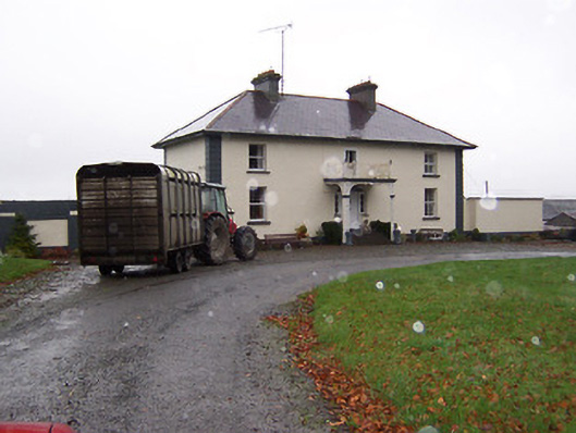 Soho Househouse · 495 yd
 Lackan ChapelChurch · 765 yd
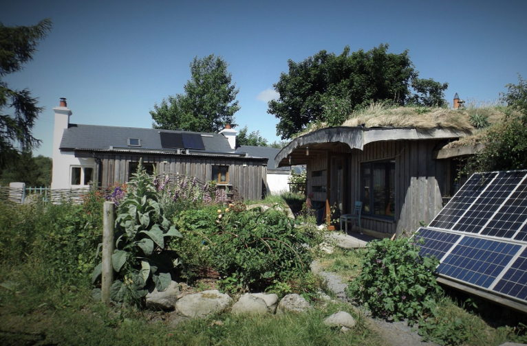 Enclosure in LackanEnclosure · 815 yd
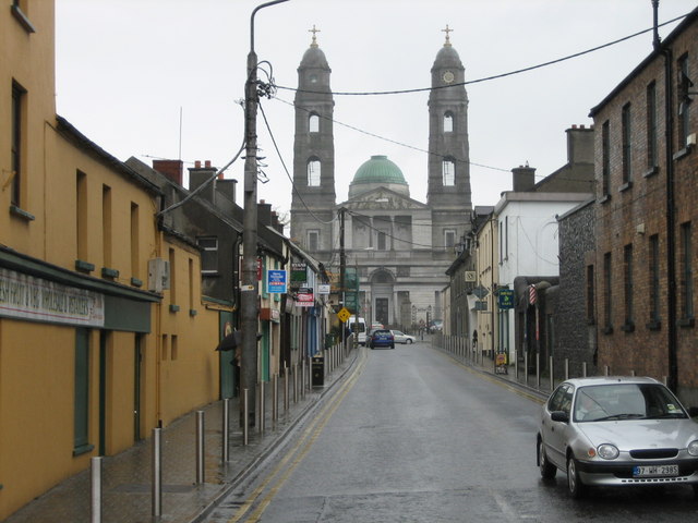 Partially hachuredFairy fort / earthen ringfort · 1746 yd
 Bridge Memorial (Kenna)Memorial · 1.1 mi
 CastleCastle, unclassified · 1.2 mi
 Carrick CastleCastle · 1.6 mi
 Baronstown ForestWood · 4.5 mi
 Horse-chestnutHorse-chestnut · 4.6 mi
 Carrickphilbin IslandIslet · 4.8 mi
 Granard MotteMotte-and-bailey castle remains · 10 mi
 1798 Monumentmonument · 10 mi