What is recorded here
Situated on low-lying marshy ground with stream marking townland boundary with Ballyharney immediately to W and NW. Ringfort (WM006-052----) 30m to SE. Bog 530m to NE. Depicted as a circular enclosure on the 1837 ed. OS 6-inch map and as 'Site of Fort' on the revised 1875 ed. OS 6-inch map. Monument partially levelled between these dates. Present remains consist of a slightly raised sub-circular area (diam. 28m N-S) enclosed by a poorly preserved earthen bank, shallow fosse, poorly preserved external earthen bank at N and S only with external fosse (Wth 3m) visible from N-E-S-SW. The slightly raised interior has slight traces of cultivation ridges. At SE there is a rectangular-shaped area or annexe (Wth c. 14m) defined by a shallow fosse. This annexe area is visible on Digital Globe aerial photograph taken November 2011. Modern drains intersect the site at N and W.
Compiled by: Frank Coyne & Caimin O'Brien
Date of upload: 31 January 2017
The monument record does not grant public access. Check the route and ask the landowner before entering private land.
- What survives
- Recorded monument
Places near here
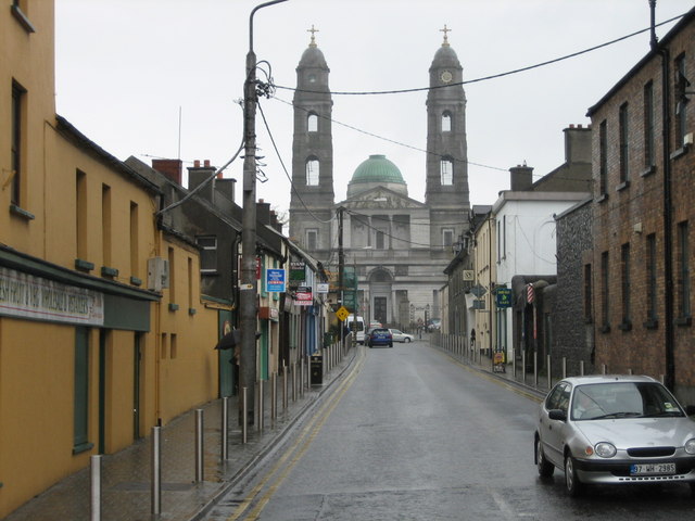 Partially hachuredFairy fort / earthen ringfort · 690 yd
 Lackan ChapelChurch · 701 yd
 MonumentPenitential station · 762 yd
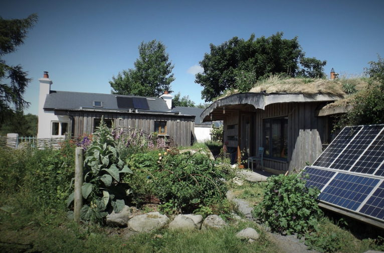 Enclosure in LackanEnclosure · 1035 yd
 CastleCastle, motte and bailey · 1652 yd
 Carrick CastleCastle · 1.3 mi
 Bridge Memorial (Kenna)Memorial · 1.9 mi
 Baronstown ForestWood · 3.9 mi
 Horse-chestnutHorse-chestnut · 4.0 mi
 Carrickphilbin IslandIslet · 5.1 mi
 Rock of CurryCliff · 7.9 mi
 Granard MotteMotte-and-bailey castle remains · 9.9 mi