What is recorded here
Lackaleigh once held a two-banked fairy fort beside the Awbeg River, but ploughs erased its banks and chopped through its eastern entrance. The earth still reveals the hidden circle when drought stops the grass from growing, proving the fort never truly disappeared.
In tillage, c. 50m from E bank of Awbeg River and c. 80m ESE of 'Chieftain's Ford' river crossing. Depicted as hachured bivallate circular enclosure (diam. c. 25m) on 1842 OS 6-inch map. Levelled; no visible surface trace of site. Circular enclosure visible in aerial photograph (GSIAP, R720), as cropmark of fosse with inner bank visible to S and second bank visible to NW; landway truncated enclosure on E side. 'Ringfort' visible as cropmark in field in 1973 (UCC).
The above description is derived from the published 'Archaeological Inventory of County Cork. Volume 4: North Cork' (Dublin: Stationery Office, 2000). In certain instances the entries have been revised and updated in the light of recent research.
Date of upload/revision: 14 January 2009
The monument record does not grant public access. Check the route and ask the landowner before entering private land.
- What survives
- Recorded monument
Places near here
 KilnKiln, unclassified · 456 yd
 Burial ground in AssolasBurial ground · 530 yd
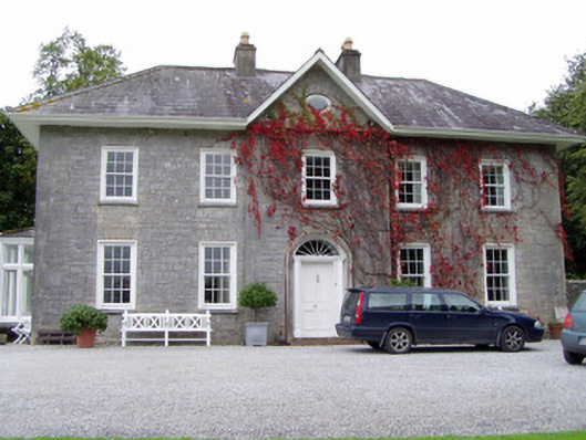 Glenlohane Househouse · 536 yd
 European YewEuropean Yew · 614 yd
 Enclosure in GlenlohaneEnclosure · 729 yd
 Designed landscapeDesigned landscape, tree-ring · 782 yd
 Ballyheen Castle (Site of)Castle, unclassified · 846 yd
 CastleCastle, unclassified · 1.2 mi
 Graveyard in Ballygiblin (duhallow By.)Graveyard · 1.9 mi
 Kanturk CastleHeritage attraction · 2.7 mi
 Hanna SheehyMemorial · 2.8 mi
 St Fursey's WellSpring · 2.9 mi