What is recorded here
Lackabane holds four ringforts, but the largest vanished beneath pasture and plough. Only a slight west-facing scarp remains where a fifty-metre circular enclosure once commanded the horizon. Humans built it, lived there, and forgot it. The land kept the shape long after the people stopped naming it.
In pasture, on gentle W-facing slope, commanding extensive view all round. Depicted as hachured circular enclosure (diam. c. 50m) on 1842, 1904 and 1936 OS 6-inch map. Levelled; trace of enclosure survives as slight scarping up of ground, on downslope to W. One of four ringforts recorded in this townland by Broker (1937, 49).
The above description is derived from the published 'Archaeological Inventory of County Cork. Volume 3: Mid Cork' (Dublin: Stationery Office, 1997). In certain instances the entries have been revised and updated in the light of recent research.
Date of upload/revision: 14 January 2009
The monument record does not grant public access. Check the route and ask the landowner before entering private land.
- What survives
- Recorded monument
Places near here
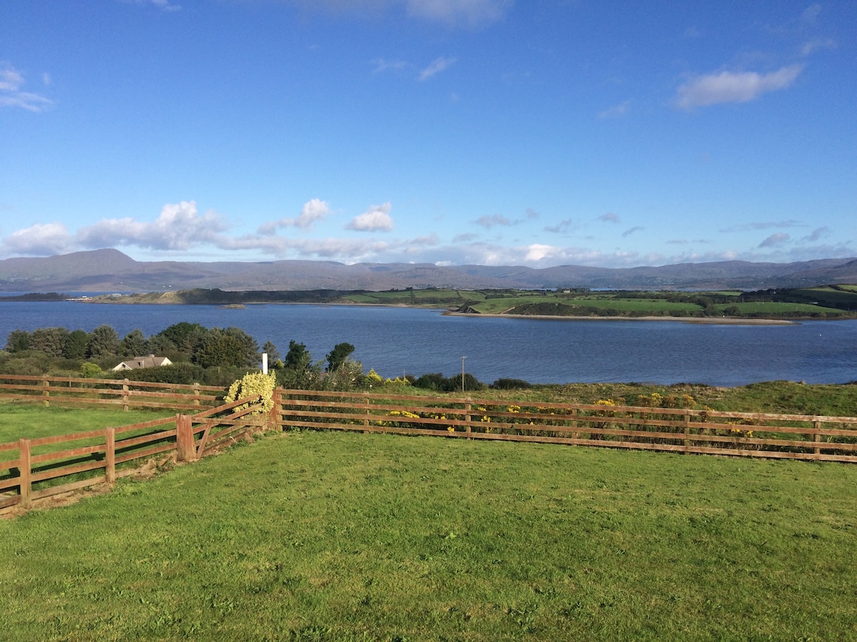 Man-made underground passage in Tullig (muskerry West By.)Man-made underground passage · 770 yd
 Man-made underground passageMan-made underground passage · 798 yd
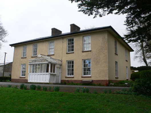 Tullig Househouse · 863 yd
 Church in ShannaknockChurch · 1119 yd
 Castle and TurretCastle, tower house · 1.1 mi
 Millstreet Tourist InformationVisitor information · 1.2 mi
 St. Patrick's ChurchVisitor information · 1.3 mi
 Millstreet Museum & Tourist Information CentreMuseum · 1.3 mi
 RowanRowan · 1.7 mi
 Dromsicane Castle (in Ruins)Bawn · 1.9 mi
 Claragh MountainMountain / peak · 2.6 mi
 Rathcool WoodWood · 3.0 mi