What is recorded here
Yes. Use the example as the guide. Wait for the new data and the real request. Answer that request once with one short story.
In forestry, in an area of poor land. The ground slopes down to the Nuenna river valley in the N. A roughly circular area (diam. 23m N-S; 25m E-W) enclosed by a low earthen bank (Wth 1.8-3m; int. H 0.4m; ext. H 0.4m at S to 2m at N) with very slight traces of an external fosse (Wth 2m). Entrance (Wth 2.2m) at ESE. Interior slopes to N with natural fall of ground.
Compiled by: Jean Farrelly
Date of upload: 22 January 2020
The monument record does not grant public access. Check the route and ask the landowner before entering private land.
- What survives
- Recorded monument
Places near here
 IndicatedEnclosure · 357 yd
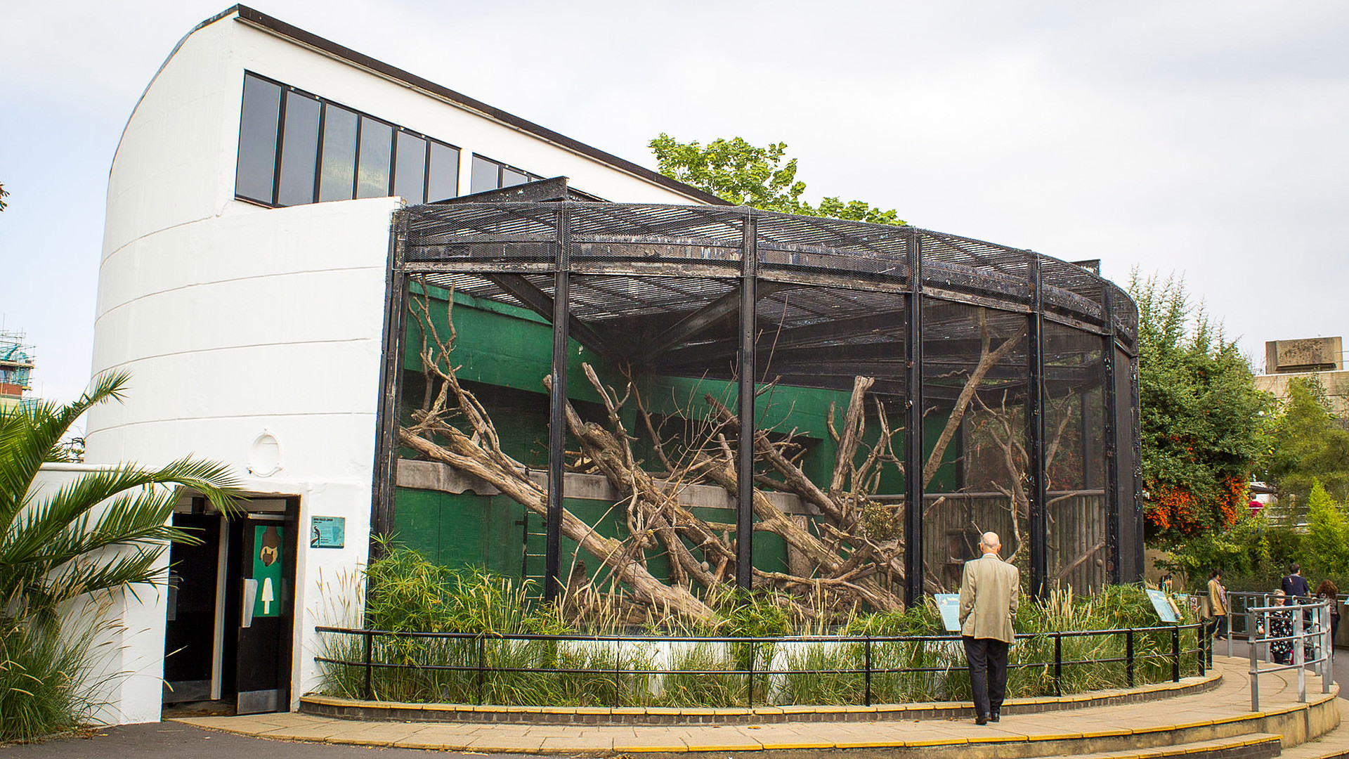 Enclosure in MonabrogueEnclosure · 482 yd
 Church in KyleballynamoeChurch · 871 yd
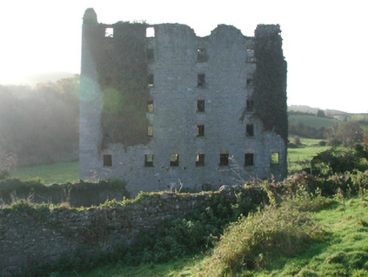 Clomantagh Millsmill (water) · 1551 yd
 CastleCastle, tower house · 1.0 mi
 Tubbrid Castle (in ruins)Castle, tower house · 1.2 mi
 The CopseWood · 1.4 mi
 Brown's WoodWood · 1.7 mi
 Freshford LoopWalking route · 1.9 mi
 Clomantagh HillMountain / peak · 2.9 mi
 John HelyMemorial · 4.8 mi
 DelaneyMemorial · 4.9 mi