What is recorded here
Knockstown holds a thirty-three metre earthen ring with a five-metre eastern gap, visible in cropmarks and old survey photographs. It is the kind of place people called a fairy fort because the shape appeared sudden, complete and unrelated to ordinary building. A family may have lived there, buried its tools and disappeared into the wider story of Meath. The earth kept the circle while human memory thinned, making the fort both familiar and unreachable.
Situated on a fairly level landscape. The cropmark of a circular enclosure (diam. c. 33m) defined by a single fosse feature with an entrance gap (Wth c. 5m) at E is visible on Google Earth (14/07/2018). This is visible as a scrub-covered feature on photographs of the Geological Survey of Ireland from the 1970s (GSIAP: N 392, 393), and is visible as a cropmark on OSI images (2005; 2012). It was first reported by Jean Charles Caillere.
See the attached view from Google Earth 14/07/2018
Compiled by: Michael Moore
Date of upload: 5 June 2019
The monument record does not grant public access. Check the route and ask the landowner before entering private land.
- What survives
- Recorded monument
Places near here
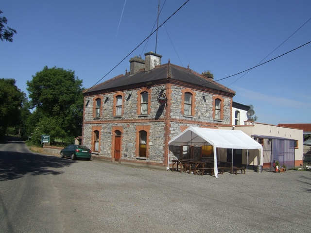 Kilmessan Househouse · 1.2 mi
 CastleCastle, unclassified · 1.2 mi
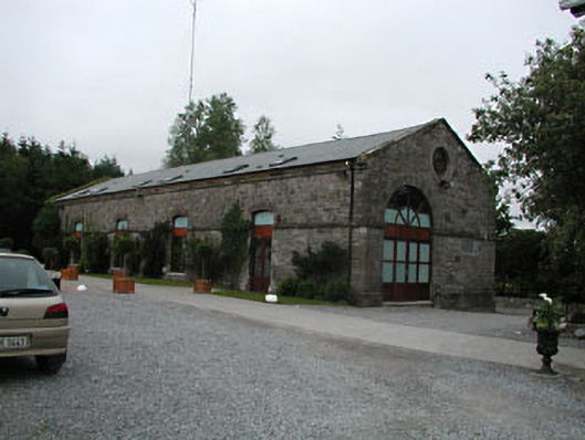 store/warehousestore/warehouse · 1.2 mi
 Font in TrubleyFont · 1.2 mi
 Enclosure in Balreask (deece Lower By.)Enclosure · 1.3 mi
 Trubley CastleCastle, tower house · 1.3 mi
 Small-leaved ElmSmall-leaved Elm · 1.8 mi
 Wych ElmWych Elm · 2.3 mi
 Battle of Tara (Ireland)Major battlefield · 3.7 mi
 Battle of Tara Hillbattle · 3.7 mi
 Saint Patrick'sMemorial · 3.8 mi
 Hill of TaraVisitor information · 3.8 mi