What is recorded here
Knockreagh Upper holds a thirty-seven-metre earthen ring on a drumlin ridge, marked on McCrea’s map in 1793 and still visible beneath grass today. The bank rises two metres at the west, drops to a shallow internal lip, and breaks into gaps where the outer edge has surrendered to soil and time. A causeway at the east suggests a deliberate entrance rather than random decay. The fort may have housed a family, a herder, or a claim to land written in earth instead of ink. Its shape survives because the ridge held it, not because people remembered to keep it clear.
Located just off the summit of a NNW-SSE drumlin ridge on the S side. A circular enclosure is depicted here at Knockreagh Upper on McCrea’s map of County Monaghan (1793), and on the 1834 and 1907 editions of the OS 6-inch map. This is a circular grass-covered area (diam. 37.5m NNW-SSE; 37m ENE-WSW) defined by an earthen bank (at W: Wth c. 4m; int. H 0.3m; ext. H c. 2m) with an external fosse (at W: Wth of base 1.8m; ext. D 0.7m) that is absent NE-SE. Interrupted sections of a second, outer bank (at W: Wth of base 2.4m; ext. H 0.9m) are visible SE-W-NE. There are several gaps in the banks but the original entrance and causeway (Wth of top 3.2m; H 0.6m) is probably that at ESE. The monument had become completely overgrown by 1995 (OSAP).
The above description is derived from the published 'Archaeological Inventory of County Monaghan' (Dublin: Stationery Office, 1986). In certain instances the entries have been revised and updated in the light of recent research.
Compiled by: Michael Moore
Date of revision: 27 February 2018
The monument record does not grant public access. Check the route and ask the landowner before entering private land.
- What survives
- Recorded monument
Places near here
 KnockreaghMountain / peak · 507 yd
 IndicatedFairy fort / earthen ringfort · 855 yd
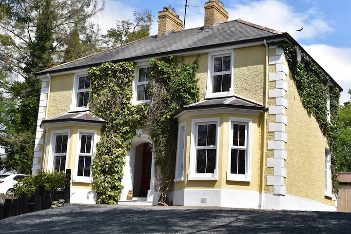 Embanked enclosureFairy fort / earthen ringfort · 1157 yd
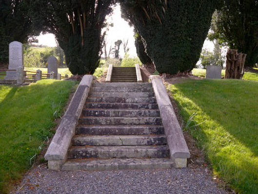 Holy Trinity Church (Donaghmoyne)church/chapel · 1371 yd
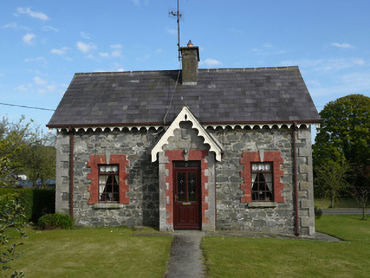 worker's houseworker's house · 1406 yd
 Fincarn HillMountain / peak · 2.7 mi
 Whites IslandIslet · 2.8 mi
 TobernagalliaghSpring · 3.2 mi
 Mannan Castle (in ruins)Castle, Anglo-Norman masonry castle · 3.5 mi
 Crane IslandIsland · 3.7 mi
 The Black Castle Chambered GraveArchaeological place · 3.9 mi
 Battle of Newry Roadbattle · 4.0 mi