What is recorded here
Knocknaveagh holds a faint circular scar thirty metres wide on a gentle south-facing slope, visible in satellite images but easy to miss on foot. Liam Kenny first reported the ghost of a ringfort hidden beneath grass, preserving a boundary drawn by hands long gone. The earth still remembers the shape even when people forget the name.
Situated on a gentle S-facing slope. A slightly raised grass-covered area (diam. c. 30-35m) is visible on Digital Globe (c. 2013), on OSI images (1995, 2005, 2012), and Google Earth (24/03/2017). It was first reported by Liam Kenny.
Compiled by: Michael Moore
Date of upload: 17June 2019
The monument record does not grant public access. Check the route and ask the landowner before entering private land.
- What survives
- Recorded monument
Places near here
 IslandMountain / peak · 1157 yd
 Site of Old CastleCastle, unclassified · 1251 yd
 Drumlerry WetlandForest · 1615 yd
 Enclosure in KnockaraheenEnclosure · 1.1 mi
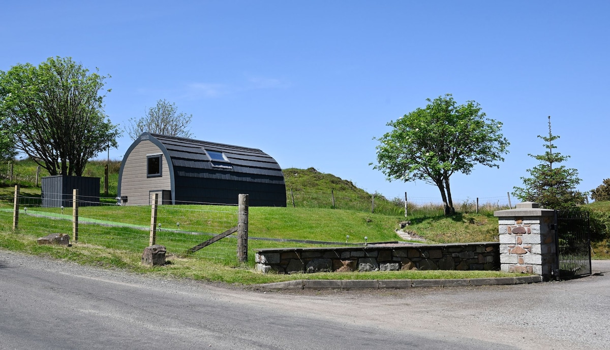 Enclosure in RahardEnclosure · 1.1 mi
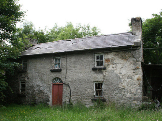 Behernagh Housefarm house · 1.2 mi
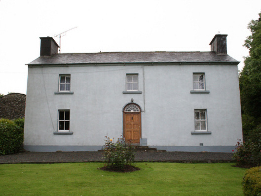 farm housefarm house · 1.2 mi
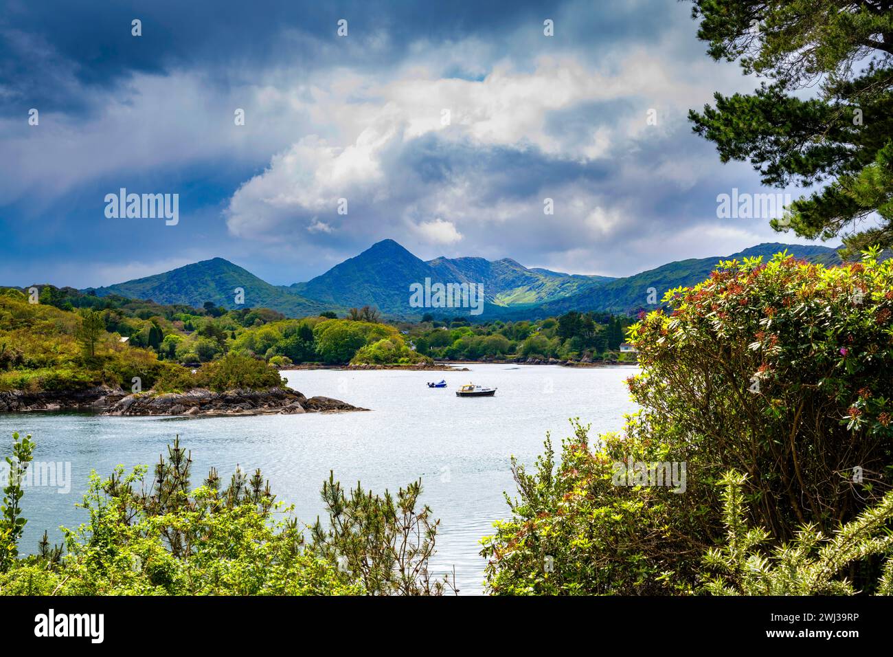 Behernagh IslandIslet · 1.8 mi
 Stony IslandIslet · 1.8 mi
 Oliver Plunkett memorialMemorial · 2.0 mi
 Earthen TumulusCastle, motte · 2.4 mi
 Knockatemple WoodlandWood · 2.7 mi