What is recorded here
Fairy fort / earthen ringfort in Knocknanuss (carbery East (e.d) By.) stands in pasture on a NW facing slope, a perfect 30.5m circle marked by an eroded 1.4m earthen bank. Deciduous trees cling to parts of the rim while the interior rises on the NW side to balance the hillslope, suggesting human hands shaped the land before forgetting it. Field fences have vanished, leaving the ring exposed beneath open sky. It is the kind of place where ordinary animals stop grazing and listen, as if the soil still remembers the shape of what lived inside.
In pasture, on NW facing slope. Circular area (30.5m N-S; 30.5m E-W) enclosed by eroded earthen bank (H 1.4m). Bank planted in parts with deciduous trees. Interior raised on NW side to compensate for hillslope. Surrounding field fences removed.
The above description is derived from the published 'Archaeological Inventory of County Cork. Volume 1: West Cork' (Dublin: Stationery Office, 1992). In certain instances the entries have been revised and updated in the light of recent research.
Date of upload/revision: 14 January 2009
The monument record does not grant public access. Check the route and ask the landowner before entering private land.
- What survives
- Recorded monument
Places near here
 BarrowBarrow, ring-barrow · 900 yd
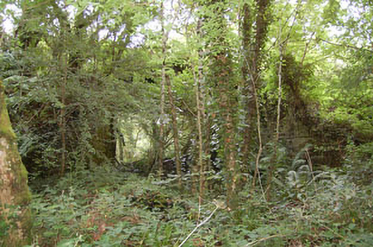 bridgebridge · 1157 yd
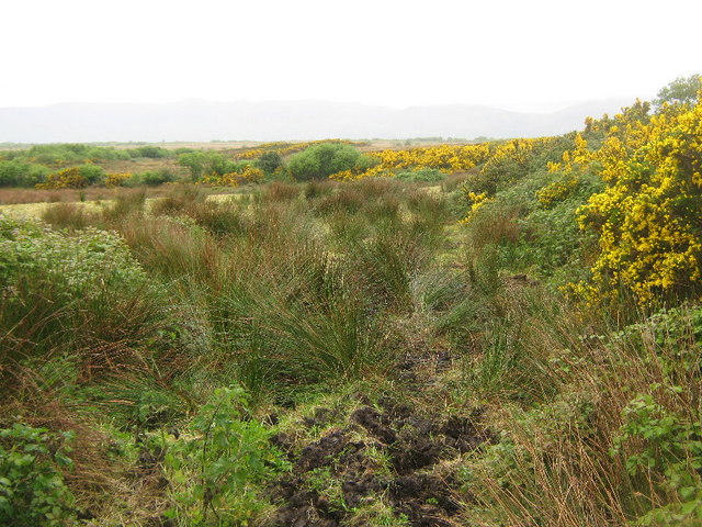 Enclosure in Tullig (carbery East (e.d) By.)Enclosure · 1492 yd
 farm housefarm house · 1.3 mi
 Tobar MacloonaboySpring · 1.8 mi
 Monteen Castle (in Ruins)Castle, tower house · 2.3 mi
 Castle DerryCastle · 2.5 mi
 English hollyEnglish holly · 2.5 mi
 Graveyard in KilmalodaGraveyard · 2.6 mi
 Battle of the Big Cross (1798) Memorial MonumentMonument · 2.7 mi
 The GlenWood · 3.6 mi
 Michael Collins CentreMuseum · 3.9 mi