
What is recorded here
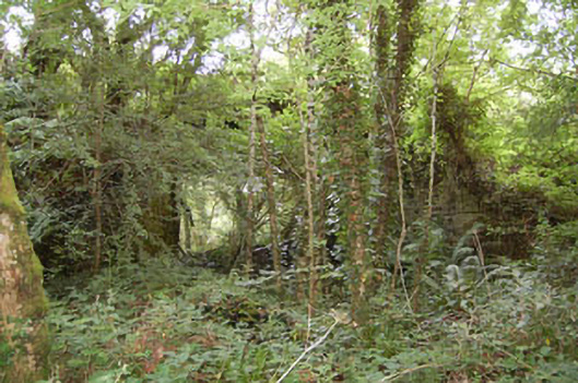
In pasture on E-facing slope. Circular area (9m E-W; 10m N-S) enclosed by fosse (D 0.4m) with external bank (H 0.5m). Interior level; site planted with trees.
The above description is derived from the published 'Archaeological Inventory of County Cork. Volume 1: West Cork' (Dublin: Stationery Office, 1992). In certain instances the entries have been revised and updated in the light of recent research.
Date of upload/revision: 14 January 2009
A ring-barrow, likely dating to the Early Bronze Age, representing a type of funerary monument common in Atlantic Europe. Its fosse and external bank indicate ritual significance and social organisation of the period.
The monument record does not grant public access. Check the route and ask the landowner before entering private land.
- What survives
- Recorded monument
Places near here
 bridgebridge · 257 yd
 Burial Ground for childrenBurial ground · 1379 yd
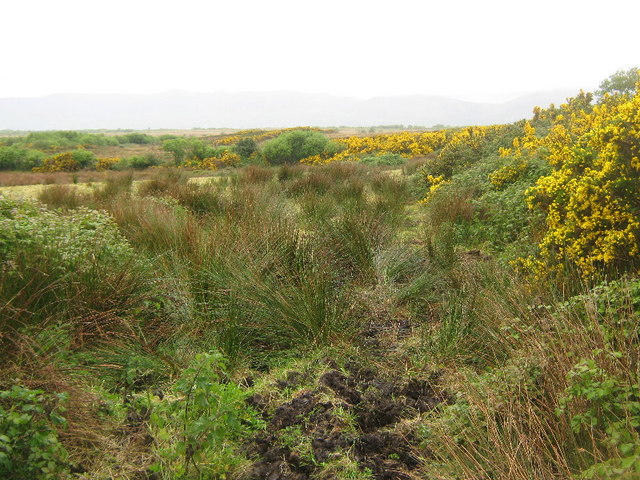 Enclosure in Tullig (carbery East (e.d) By.)Enclosure · 1530 yd
 mill (water)mill (water) · 1.3 mi
 Monteen Castle (in Ruins)Castle, tower house · 1.8 mi
 Tobar MacloonaboySpring · 1.9 mi
 English hollyEnglish holly · 2.1 mi
 Graveyard in KilmalodaGraveyard · 2.1 mi
 Battle of the Big Cross (1798) Memorial MonumentMonument · 2.7 mi
 Castle DerryCastle · 3.0 mi
 Michael Collins CentreMuseum · 3.6 mi
 Argideen Loop WalksVisitor information · 3.9 mi
Other information
Photo: Credit not shown in the picture search · Rights wording not checked; contact us if this picture should be removed