What is recorded here
Knocknamona holds a double-ringed earthen fort facing the Blackwater valley, visible on maps since 1842. Its outer bank still rises nearly two metres along the eastern edge, while the inner circle fades into grazing land. The shape suggests humans built a defensible home or marker, yet the fairy fort name implies locals also believed the site belonged to unseen inhabitants.
In rolling pasture, commanding extensive view to N across Blackwater River valley. Depicted as hachured circular enclosure on 1842, 1905 and 1936 OS 6-inch maps. Circular area (41m E-W; 40m N-S) defined by low rise (int. H 0.2m) E->SSW with slight scarp elsewhere. Intervening fosse (D 1m) and second substantial earthen bank (ext. H 1.8m) with external fosse (D 0.6m) survives E->SSW. Enclosing outer fosse in parts is narrow earthen bank (H 0.8m), which appears to be remains of field boundary. Interior slightly raised and slopes down to E.
The above description is derived from the published 'Archaeological Inventory of County Cork. Volume 4: North Cork' (Dublin: Stationery Office, 2000). In certain instances the entries have been revised and updated in the light of recent research.
Date of upload/revision: 14 January 2009
The monument record does not grant public access. Check the route and ask the landowner before entering private land.
- What survives
- Recorded monument
Places near here
 IndicatedEnclosure · 378 yd
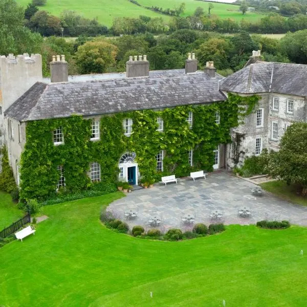 BoherbrádaghRoad, road/trackway · 950 yd
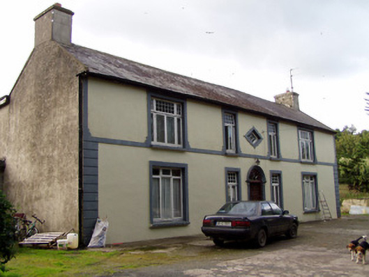 Aldworth Househouse · 1118 yd
 Church (Site of)Church · 1179 yd
 Dromaneen CastleHeritage attraction · 1.7 mi
 In loving memory of Elvis O'DonoghueMemorial · 3.2 mi
 Mallow Castle RuinRuins · 3.8 mi
 Gurteenkreen Castle (Site of)Castle, unclassified · 4.5 mi
 Mount Hillary - Knightfield LoopWalking route · 5.8 mi
 Mount Hillary - Mount Hillary LoopWalking route · 5.9 mi
 Graveyard in Ballygiblin (duhallow By.)Graveyard · 6.0 mi
 Eagle's NestMountain / peak · 6.3 mi