What is recorded here
Knocknaman held a five-foot circle of earth before ploughs and patience erased it. The land still remembers the shape, holding a faint ridge where a household once lived, loved and vanished. Maps drawn decades apart watched the ring shrink from thirty-five to forty-five metres, as if the earth itself were forgetting slowly. What remained is not nothing. It is a boundary the ground keeps drawing when no one is watching.
In pasture, on a S-facing slope. This rath, which according to local information was levelled 'many years ago' is evident as a circular area (diam. 55m) defined by faint intermittent traces of an earthen bank (Wth c. 7m; H 0.1m). Indicated on the 1846 OS 6-inch map as a circular enclosure (diam. c. 35m) and on the 1895 OS 6-inch map as a roughly circular raised area (diam. c. 45m) with an external fosse N-SE.
Compiled by: Elizabeth Byrne, Ursula Egan and Sheila Ronan, Archaeological Survey Unit, University College, Cork.
Date of upload: 31 January 2011
The monument record does not grant public access. Check the route and ask the landowner before entering private land.
- What survives
- Recorded monument
Places near here
 The Kerry Creamery ExperienceHeritage attraction · 1344 yd
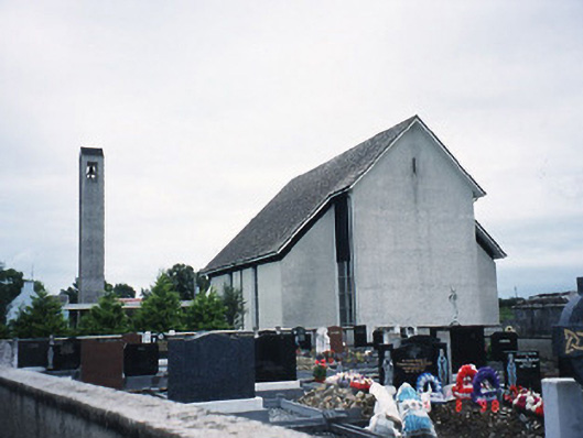 Catholic Church of the Immaculate Conceptionchurch/chapel · 1514 yd
 Milleen FortFairy fort / earthen ringfort · 1.2 mi
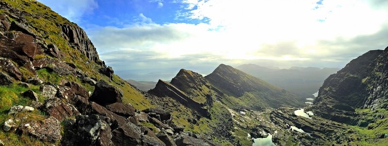 LisnacruttaFairy fort / earthen ringfort · 1.3 mi
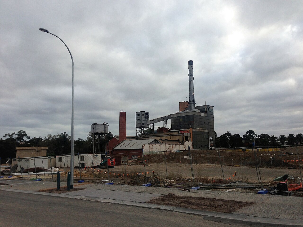 Paper MillMill, paper · 1.9 mi
 Ballymalis CastleCastle · 3.1 mi
 Ballymalis Castle (in ruins)Castle, tower house · 3.1 mi
 Japanese pagoda treeJapanese pagoda tree · 4.4 mi
 European YewEuropean Yew · 4.4 mi
 Dunloe Ogham StonesHeritage attraction · 4.4 mi
 Clash IslandIslet · 4.6 mi
 Cloon IslandIsland · 5.0 mi