What is recorded here
Knocknagoul held a hundred-and-twenty-foot ringfort with a five-foot rampart before men levelled it around 1975. The earth vanished, but the story remains: a circular enclosure on a south-facing slope, open at the northeast, where pasture now covers what was once a defended home. Fate often erases the very things it should preserve.
In pasture, on S-facing slope. Depicted as hachured circular enclosure (diam. c. 30m), truncated at NE side by field boundary, on 1842 OS 6-inch map; penannular hachured enclosure, open at NE side, on 1903 and 1943 OS 6-inch maps. According to local information, levelled c. 1975. No visible surface trace. Hartnett (1939, 115) recorded 5ft high rampart with 'modern earth and stone fence' forming 'eastern boundaries'. Entrance was to N with overall diameter measuring 120ft (ibid. 116).
The above description is derived from the published 'Archaeological Inventory of County Cork. Volume 3: Mid Cork' (Dublin: Stationery Office, 1997). In certain instances the entries have been revised and updated in the light of recent research.
Date of upload/revision: 14 January 2009
The monument record does not grant public access. Check the route and ask the landowner before entering private land.
- What survives
- Recorded monument
Places near here
 Fulachta FiadhFulacht fia · 1317 yd
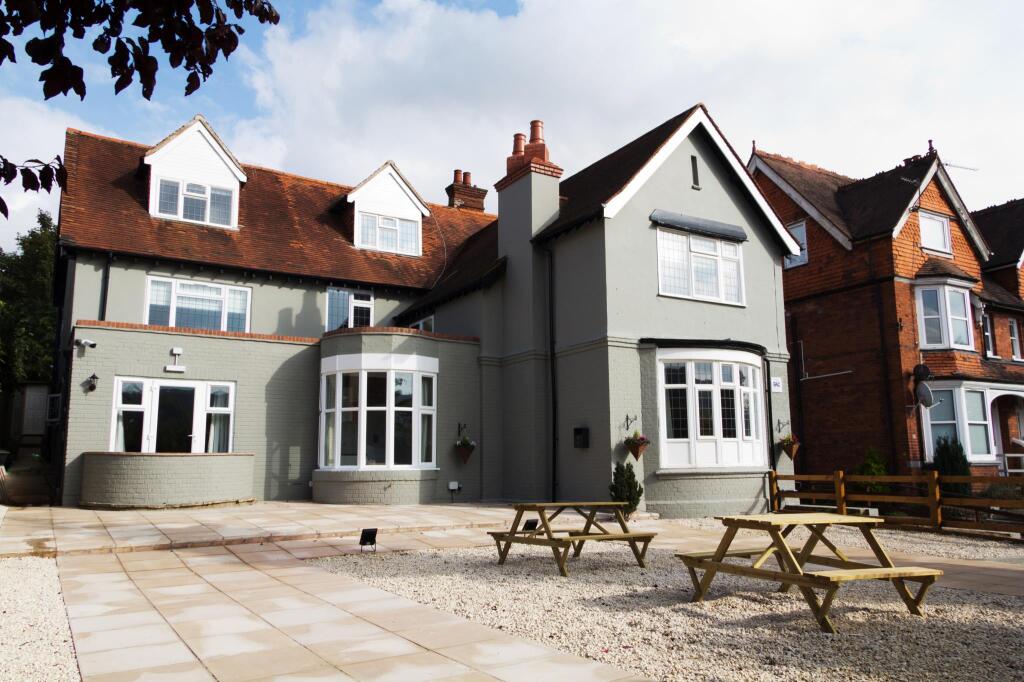 Rye Court (in Ruins)Country house · 1403 yd
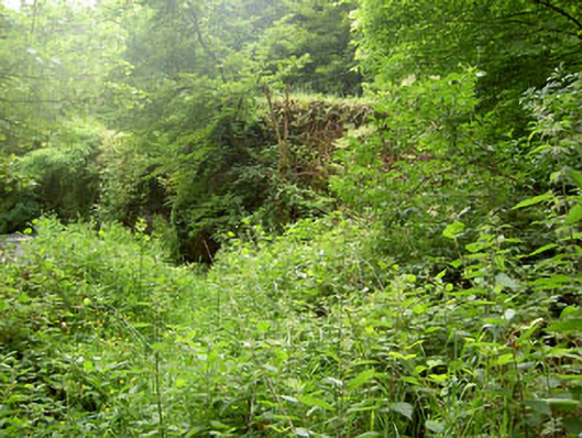 Rye Court Bridgebridge · 1463 yd
 Pedunculate OakPedunculate Oak · 1531 yd
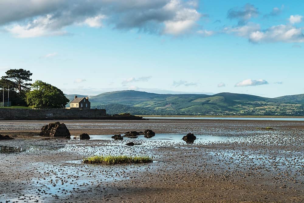 Fulacht fia in CurrahalyFulacht fia · 1565 yd
 Sunday's WellSpring · 1.5 mi
 Castlemore CastleCastle · 1.5 mi
 Old Mansion HoCastle, Anglo-Norman masonry castle · 1.9 mi
 Farran WoodWood · 2.2 mi
 Carrigadrohid CastleHeritage attraction · 3.7 mi
 Carrigadrohid Castle InfoVisitor information · 3.8 mi
 Independence MuseumMuseum · 4.6 mi