What is recorded here
Knocknageehy holds a vanished ringfort, reduced from a defended earthwork to a faint twenty-metre ridge because people levelled most of its bank in 1879 and removed what remained in the early 1980s. The fairy-fort name suggests it was never ordinary: a place where children may have pointed, dogs may have refused to enter, and neighbours may have stopped joking when the story turned sharp. What is left is a shallow breath of a boundary, yet that thin trace preserves the shape of human fear, pride and forgetting.
In pasture on N-facing slope. Most of surrounding bank levelled in 1879; remainded levelled in early 1980s. Site now defined by slightly raised area (diam. c. 20m); traces of fosse to WSW (D 0.25m).
The above description is derived from the published 'Archaeological Inventory of County Cork. Volume 1: West Cork' (Dublin: Stationery Office, 1992). In certain instances the entries have been revised and updated in the light of recent research.
Date of upload/revision: 14 January 2009
The monument record does not grant public access. Check the route and ask the landowner before entering private land.
- What survives
- Recorded monument
Places near here
 Corn MillMilling complex · 227 yd
 Rathbarryfarm house · 348 yd
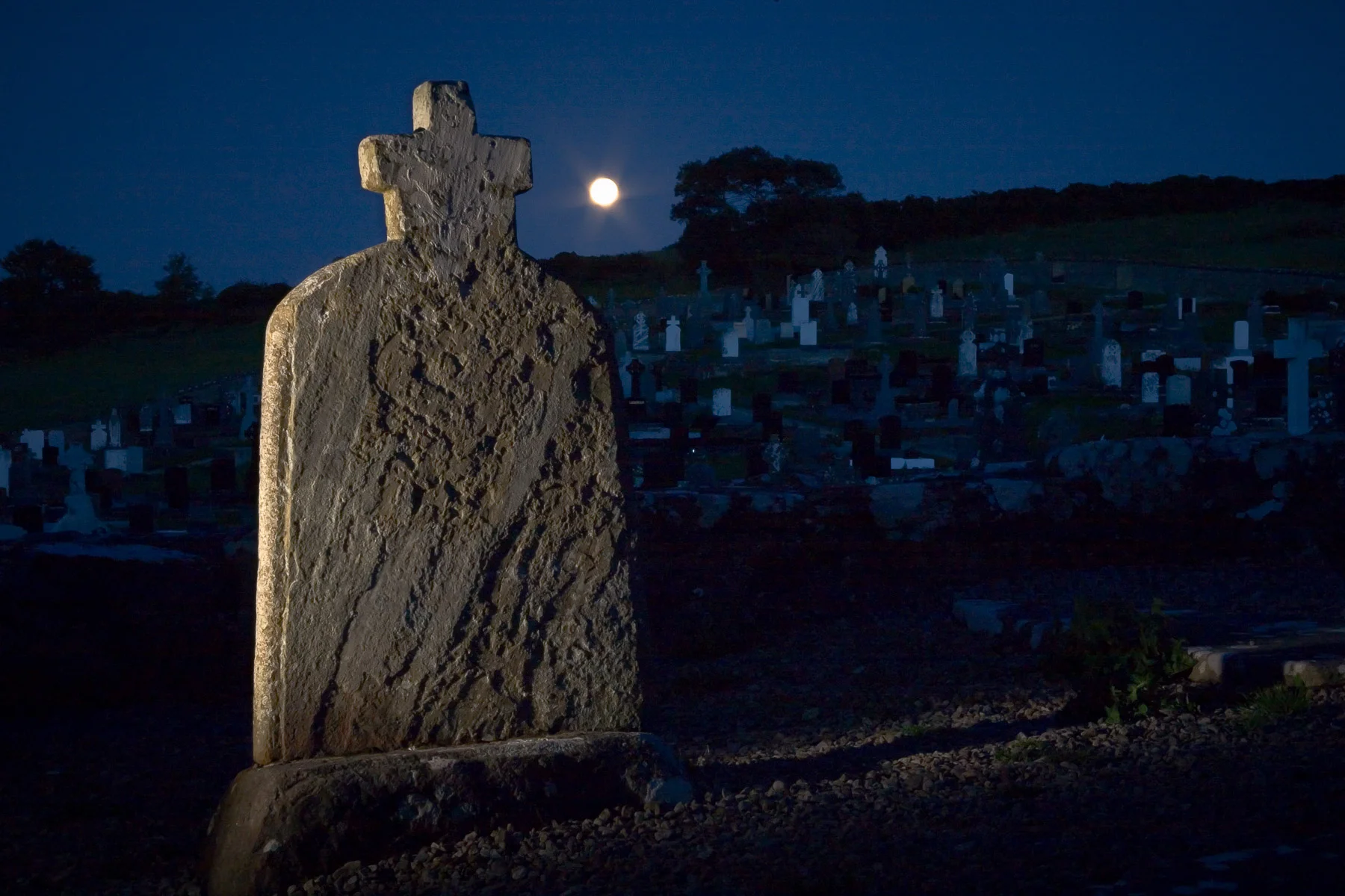 Boulder-burial in KnocknageehyBoulder-burial · 360 yd
 Castle Freke WoodsForest · 1282 yd
 Chilean myrtleChilean myrtle · 1454 yd
 Castle Frekecountry house · 1455 yd
 Ownahincha Strand (West)Beach / strand · 1.1 mi
 Bawn in CastlefrekeBawn · 1.1 mi
 Little Island StrandBeach / strand · 1.2 mi
 Lord Carbery's Cross TrailWalking route · 1.2 mi
 Cottage MuseumMuseum · 1.2 mi
 Galley Head ViewViewpoint · 1.4 mi