What is recorded here
Knocknabooly East holds a broken oval ringfort where conifers drop needles onto a forgotten human boundary. Its earthen bank still rises sixty centimetres above the marsh, though drainage dykes have cut through the surrounding ditch and rough grasses have swallowed the middle. The gap at the north-west remains wide enough for a person to step across, inviting wonder about whether it marked an entrance, a weakness or simply the place where the wood finally took the field back.
In low-lying marshy area of coniferous wood. Oval area (c. 30m N-S; c. 36m E-W) enclosed by earthen bank (int. H 0.6m; ext. H 0.8m) with external fosse (Wth 2m; D c. 0.5m). Gap in bank (Wth c. 0.9m) at NW. Enclosure covered by dense growth of rough grasses and heather. Deep drainage dykes, which criss-cross the wood, clip enclosing fosse at a number of points.
Compiled by: Denis Power
Date of upload: 26 August 2011
The monument record does not grant public access. Check the route and ask the landowner before entering private land.
- What survives
- Recorded monument
Places near here
 Lisnamnaroe - HachuredFairy fort / earthen ringfort · 1399 yd
 Children's burial ground in Knocknabooly WestChildren's burial ground · 1701 yd
 Castle (Site of)Castle, unclassified · 1.5 mi
 Waterpark Housecountry house · 1.5 mi
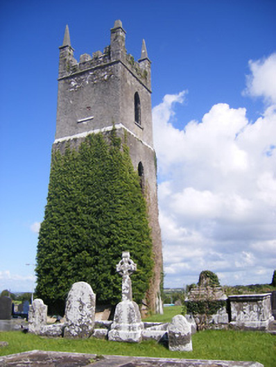 Shanagolden Churchchurch/chapel · 1.7 mi
 Shanid Castle (in ruins)Castle, Anglo-Norman masonry castle · 1.7 mi
 Monterey CypressMonterey Cypress · 2.2 mi
 Foynes Flying Boat & Maritime MuseumMuseum · 3.0 mi
 Foynes Island ViewpointViewpoint · 3.1 mi
 Battery PointHeadland · 3.5 mi
 Gammarel PointHeadland · 3.5 mi
 Foynes IslandIsland · 3.6 mi