What is recorded here
Knockmonalea West holds a broken earthen ring above a steep southern slope, its eastern bank surrendered to a modern field fence. The remaining scarps and raised interior suggest humans shaped the land long before pasture covered the remains. Fairy fort is the local name, but the structure is a human ringfort, perhaps domestic, perhaps defensive, now reduced to a circular memory in grass.
In pasture, on level ground, above steep S-facing slope. Roughly circulararea (29.3m N-S; 26.4m E-W) enclosed by earthen bank (int. H 1.1m) NW->E; scarp (H 1.8m) SE->W. Field fence replaces bank E->SE. Interior raised on S side to compensate for hillslope.
The above description is derived from the published 'Archaeological Inventory of County Cork. Volume 2: East and South Cork' (Dublin: Stationery Office, 1994). In certain instances the entries have been revised and updated in the light of recent research.
Date of upload/revision: 14 January 2009
The monument record does not grant public access. Check the route and ask the landowner before entering private land.
- What survives
- Recorded monument
Places near here
 Burgess Cottagehouse · 1557 yd
 IndicatedFairy fort / earthen ringfort · 1.1 mi
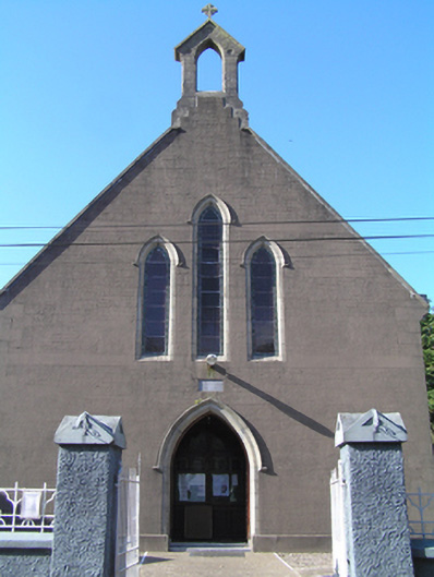 Saint Ita's Roman Catholic Churchchurch/chapel · 1.4 mi
 Inchiquin Castle (in Ruins)Castle, Anglo-Norman masonry castle · 1.5 mi
 Kilnatoora CastleCastle, tower house · 2.0 mi
 Burnt spread in LagileBurnt spread · 2.1 mi
 Historical Graveyard InformationVisitor information · 2.5 mi
 Fainin's WellSpring · 2.7 mi
 Glebe IslandIslet · 2.8 mi
 Glenbower WoodForest · 3.2 mi
 European YewEuropean Yew · 3.7 mi
 Youghal Foxhole Loop walkWalking route · 3.7 mi