What is recorded here
Knockmartin holds a vanished ringfort, not a fairy tale. Surveyed in 1976 and marked on the 1837 map, its twenty-two-metre circle was already being erased when people last walked the slope. Fields and forgetting did the rest. What remains is a shape the land almost speaks, waiting for someone to stop measuring and listen.
On a gentle SW-facing slope. Depicted as a circular enclosure with the designation 'Fort' on the 1837 ed. of the OS 6-inch map. A report in 1976 (SMR file) recorded that, although largely levelled, the outline of a bank and an external fosse could still be traced defining a circular area (diam. c. 22m). Traces of a possible outer bank were identifiable at S. The original entrance may have been at SW. The monument is not visible at ground level.
Compiled by: Patrick F. O'Donovan
Date of upload: 26 August 2011
The monument record does not grant public access. Check the route and ask the landowner before entering private land.
- What survives
- Recorded monument
Places near here
 IndicatedFairy fort / earthen ringfort · 732 yd
 Enclosure in MinardEnclosure · 876 yd
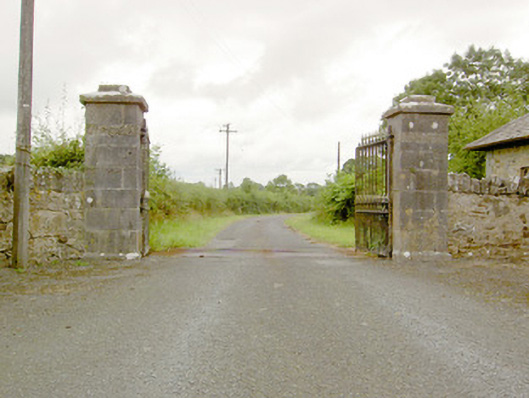 Lismoy Housegates/railings/walls · 1.0 mi
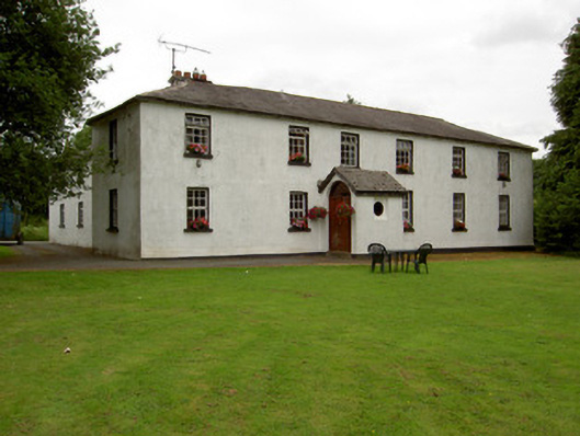 Lisnabo Schoolschool · 1.1 mi
 Pedunculate OakPedunculate Oak · 1.6 mi
 Common LimeCommon Lime · 1.6 mi
 Bawn in AbbeycartronBawn · 1.7 mi
 CastleforbesCastle · 2.0 mi
 Saint Mel's CathedralCathedral · 2.0 mi
 First World War MemorialMemorial · 2.1 mi
 Graveyard in Curry (ardagh By., Coolamber Ed)Graveyard · 4.6 mi
 Commons North WalkVisitor information · 9.5 mi