What is recorded here
Knockmanagh holds a true ringfort, not a fairy tale, because earth and stone still mark the boundary. It spans nearly forty-five metres across a ridge, enclosed by two banks and ditches that challenge modern imagination. The western entrance leads into grass and briars, while standing stones watch from nearby fields. Humans shaped this place long before whimsy claimed it.
In pasture, atop E-W ridge. Circular area (44.8m E-W; 44.6m N-S) enclosed by two earthen banks (inner bank: int. H 3m; outer bank: H 2.15m) with intervening fosse and external fosse (D 0.65m). Entrance (Wth 4m) to E. Interior mainly grass covered, except for patch of briars in N half. Standing stones (CO022-078---; CO022-080---) in nearby field c. 140m to NW and c. 120m to ENE respectively.
The above description is derived from the published 'Archaeological Inventory of County Cork. Volume 4: North Cork' (Dublin: Stationery Office, 2000). In certain instances the entries have been revised and updated in the light of recent research.
Date of upload/revision: 14 January 2009
The monument record does not grant public access. Check the route and ask the landowner before entering private land.
- What survives
- Recorded monument
Places near here
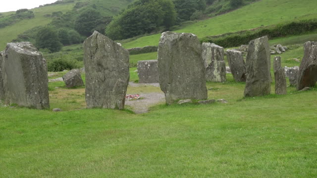 Standing StoneArchaeological place · 197 yd
 Enclosure in Kilnahulla MoreEnclosure · 1200 yd
 Wood ViewCountry house · 1.7 mi
 Castle McAuliffe (Site of)Castle, unclassified · 1.9 mi
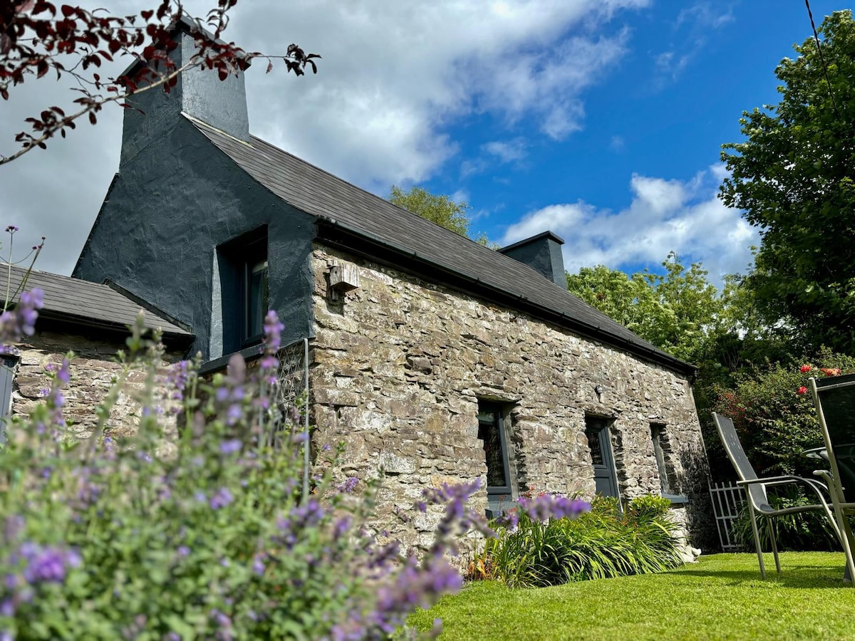
 IndicatedHouse, vernacular house · 2.1 mi
 CastleCastle, unclassified · 3.1 mi
 TaurMountain / peak · 4.7 mi
 Stanner's Glen, Priory WoodWood · 5.0 mi
 Kanturk CastleHeritage attraction · 6.7 mi
 St Fursey's WellSpring · 8.5 mi
 Nohaval WoodWood · 8.8 mi
 Doctor's HillMountain / peak · 9.0 mi