What is recorded here
Knockmacoony holds a broken earthen ring where a concrete intruder still sits abandoned inside the ancient perimeter. The bank has bled into grass and scarps, yet the widened entrance and inner field marker prove people shaped the ridge before forgetting its name. Fairy fort is the local label for what human hands built and time has half-erased.
Situated at the SW end of a short NE-SW ridge. This is a subcircular grass and rush-covered area (dims 25m NNE-SW; 21.5m E-W) defined by an earthen bank (at NNE: Wth of base 5m; int. H 0.4m; ext. H 1.8m) NW-ESE, but it is largely reduced to a scarp (at SSE: Wth 4m; H 2mm). This is surrounded by a berm (Wth 3m) defined by a scarp (at NNE: Wth 4m; H 1m) NW-ESE probably representing a fosse and outer bank (max. ext. diam. 40m N-S). There is a widened entrance (Wth of base 3.8m) at SSE. The interior is crossed by an earth and stone field bank or scarp NE-SW a little SE of the centre and it is slightly higher NW of this feature. A concrete structure, now abandoned, was built inside the perimeter at NW.
The above description is derived from the published 'Archaeological Inventory of County Meath' (Dublin: Stationery Office, 1987). In certain instances the entries have been revised and updated in the light of recent research.
Compiled by: Michael Moore
Date of revision: 31 October 2018
The monument record does not grant public access. Check the route and ask the landowner before entering private land.
- What survives
- Recorded monument
Places near here
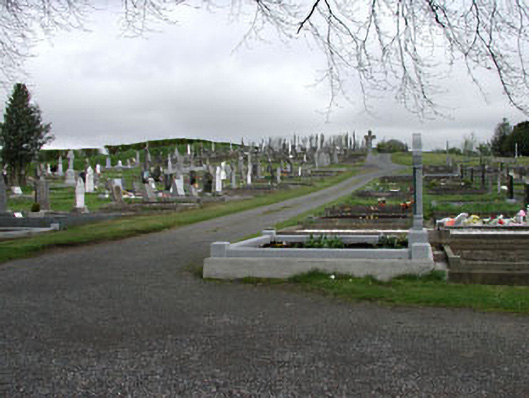 graveyard/cemeterygraveyard/cemetery · 453 yd
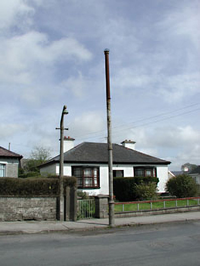 vent pipevent pipe · 664 yd
 Enclosure in KnockmacoonyEnclosure · 774 yd
 Enclosure in TubrideEnclosure · 1119 yd
 Memorial CrossMemorial · 1196 yd
 Mount FortuneMountain / peak · 1567 yd
 CastleCastle, unclassified · 1614 yd
 C11Named rock · 1.6 mi
 Carnbane WestMountain / peak · 1.6 mi
 LoughcrewMegalithic tomb cemetery · 1.8 mi
 Loughcrew Megalithic TombsHeritage attraction · 2.0 mi
 Common LimeCommon Lime · 2.1 mi