What is recorded here
Knocklishen More holds a broken fairy fort where a field boundary cut through ancient earth. The surviving eastern arc stands fourteen metres long with a stone-faced bank one metre high and a narrow entrance gap. Farmers levelled the western half, erasing most of the circle while the eastern curve still marks the forgotten shape.
The following description is derived from the published 'Archaeological Inventory of County Carlow' (Dublin: Stationery Office, 1993). In certain instances the entries have been revised and updated in the light of recent research.
Date of upload/revision: 17 July 2007
Visible on aerial photograph (GSI S 239) as circular enclosure. Bisected NNE-SSW by field boundary, levelled to W of field boundary. Small portion to E of boundary consists of arc of straight-sided bank (C. 14m), probably stone-faced (H 1m) with small entrance gap (Wth 1m) at E.
A fairy fort, or earthen ringfort, in Knocklishen More is a circular earthwork typical of early-medieval Ireland, likely dating to between the 5th and 10th centuries. Local tradition associates such sites with fairy folk, and they were often avoided for fear of disturbing supernatural inhabitants.
The monument record does not grant public access. Check the route and ask the landowner before entering private land.
- What survives
- Recorded monument
Places near here
 Enclosure in Knocklishen MoreEnclosure · 1218 yd
 Enclosure in WilliamstownEnclosure · 1370 yd
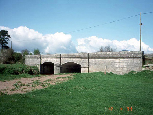 Saulsford Bridgebridge · 1.3 mi
 CastleCastle, unclassified · 1.4 mi
 Site of CastleCastle, unclassified · 1.5 mi
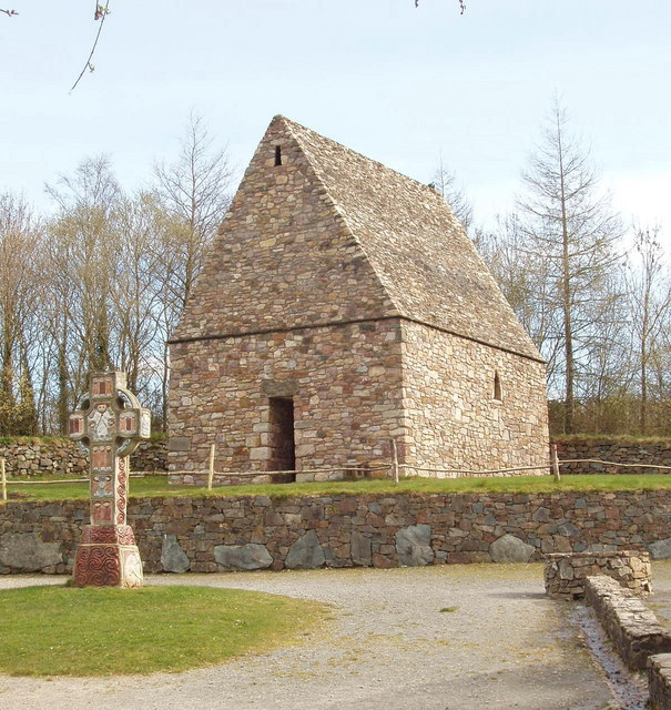 Chapel in Portrushen UpperChapel · 1.6 mi
 Acaun Church (in ruins), GraveyardChurch · 2.0 mi
 European BeechEuropean Beech · 2.4 mi
 Chapel (in ruins), GraveyardChurch · 2.4 mi
 Eagle HillMountain / peak · 3.2 mi
 Sessile OakSessile Oak · 3.5 mi
 SlievereaghMountain / peak · 6.6 mi