What is recorded here
Situated on a fairly level landscape with a small N-S stream c. 130m to the E. The cropmark of a small circular enclosure (diam. c. 30m) defined by a single fosse feature is visible on aerial photograph (ASIAP (4) 13) and digital aerial photographs (WX048-130_2, _3, _4, _6) taken in 2006. It is also visible on the OSi series of aerial photographs (2000).
Compiled by: Michael Moore
Date of upload: 8 January, 2014
The monument record does not grant public access. Check the route and ask the landowner before entering private land.
- What survives
- Recorded monument
Places near here
 Enclosure in KnockhowlinEnclosure · 243 yd
 IndicatedField system · 275 yd
 Wilson's MoorWood · 794 yd
 CastleCastle, tower house · 847 yd
 Church (in ruins)Church · 958 yd
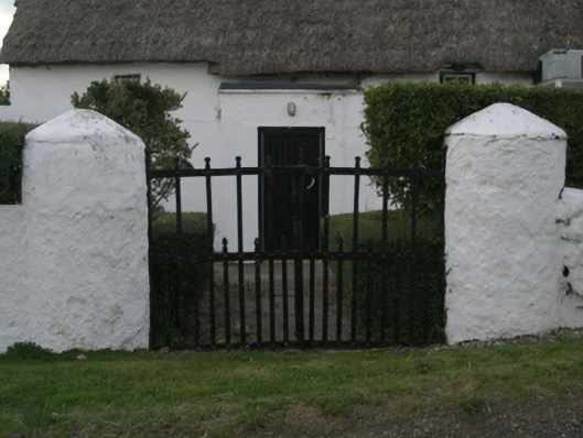 farm housefarm house · 1024 yd
 Ballymacane CastleCastle, unclassified · 1045 yd
 The HamBay · 1377 yd
 Sigginstown Island (Great)Island · 1.2 mi
 Sigginstown Island (Little)Islet · 1.3 mi
 The Bull RockForest · 2.0 mi
 1798 Memorial PlaqueMemorial · 2.0 mi