What is recorded here
Knockeenboy holds a circular earthen ringfort thirty-three metres across on the lower east slope of the Kealrootla river valley. A one-metre bank and shallow outer ditch enclose the pasture, broken only by a four-metre gap to the east-north-east. A slight internal scarp crosses the middle, while a separate underground passage lies in the adjoining field to the south-east. The shape suggests human making, but local memory may have favoured the fairies because the ground still behaves like a threshold rather than an ordinary field.
In pasture, on lower E slope of Kealrootla river valley. Circular area (33m N-S; 32m E-W) enclosed by earthen bank (H 1m) with external fosse (D 0.6m) E->SSW. Break (Wt 4m) in bank to ENE. Slight scarp crosses interior on E-W axis. Man-made underground passage (CO120-015002-) in adjoining field to SE.
The above description is derived from the published 'Archaeological Inventory of County Cork. Volume 1: West Cork' (Dublin: Stationery Office, 1992). In certain instances the entries have been revised and updated in the light of recent research.
Date of upload/revision: 14 January 2009
The monument record does not grant public access. Check the route and ask the landowner before entering private land.
- What survives
- Recorded monument
Places near here
 Mound in CappadineenMound · 694 yd
 Mohona WoodWood · 1560 yd
 Country house in MohonaCountry house · 1.0 mi
 Church (Site of)Church · 1.3 mi
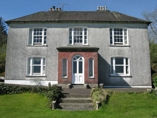 Manor Househouse · 1.4 mi
 Graveyard in ToughmacdermodyGraveyard · 1.5 mi
 Castle (Site of)Castle, Anglo-Norman masonry castle · 2.1 mi
 Dunmanway Heritage CentreVisitor information · 2.3 mi
 Graveyard in Dunmanway NorthGraveyard · 2.7 mi
 Milane HillMountain / peak · 3.2 mi
 Mount GunneryMountain / peak · 3.7 mi
 Funmanway Adventure LandHeritage attraction · 4.0 mi