What is recorded here
Knockdrummore holds a forgotten ringfort where human hands shaped earth into an oval before field boundaries cut through its northern and eastern edges. The grass still covers the trace, but the shape resists erasure because memory and soil both remember the choice made there. What was built, removed or abandoned on that west-facing slope remains unknown. The site preserves the shape of a decision someone no longer names.
On a W-facing slope in hilly pastureland. Marked as an oval enclosure (c. 35m ENE-WSW; c. 25m NE-SW) on the 1920 edition of the OS 6-inch map. On inspection in May 1983, apart from slight irregularities in the ground surface, no visible surface trace survives. However, its outline is
visible on the OSi digitalglobe aerial photograph. Field boundaries clipped the monuement along the N and E sectors.
Compiled by: Galway Archaeological Survey, UCG
Date of upload: 10 April 2019
The monument record does not grant public access. Check the route and ask the landowner before entering private land.
- What survives
- Recorded monument
Places near here
 CaveMan-made underground passage · 675 yd
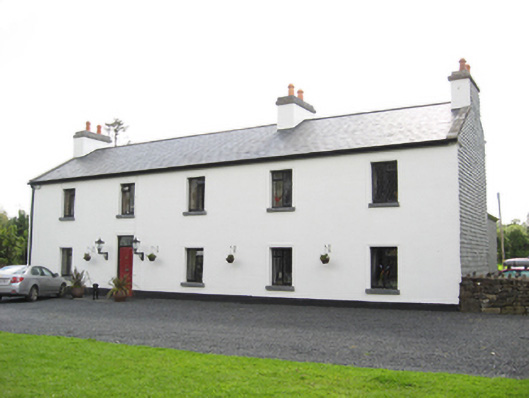 Cartron HouseRIC barracks · 731 yd
 IndicatedEnclosure · 825 yd
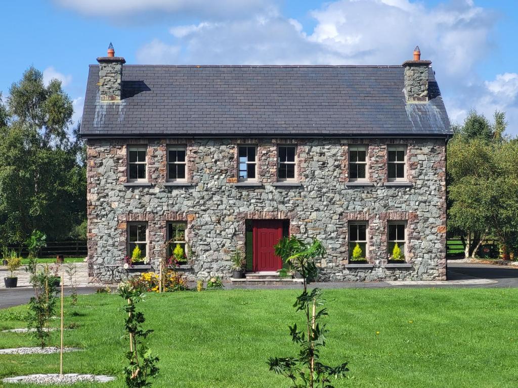 Country house in Carrowroe (marblehill Ed)Country house · 948 yd
 Coolfin Castle (in ruins)Castle, tower house · 3.6 mi
 Site of CastleCastle, unclassified · 3.9 mi
 Oak WoodForest · 4.9 mi
 TullymoreMountain / peak · 5.0 mi
 Bog WoodForest · 5.1 mi
 Maguire SistersMemorial · 5.9 mi
 Friar's IslandIslet · 6.8 mi
 Abbey IslandIslet · 6.8 mi