What is recorded here
Knockdromin holds a thirty-metre earthen circle where cattle have worn the outer bank smooth, proving the fort still serves living bodies rather than dead history. The southern causeway cuts through the fosse like a tongue, inviting entry into a pasture that slopes downward beneath the scarp. Fairy forts demand belief in transformation, but this is a human ringfort shaped by hands, tools and time. The distinction matters because people built it, lived beside it and left it marked on the earth.
In pasture, on SE-facing slope, below brow of low hill. Circular area (diam. 30.5m) enclosed by earthen bank NW->NNE and defined by scarped edge NNE->NW, with outer fosse (D 0.3m; Wth 1.5m) SE->WSW. Bank (int. H 0.6m; ext. H 0.75m), best preserved at N, has a much worn down outer face due to cattle traffic. Scarp (H 1.4m), best preserved along SE arc, lowers at S to match narrow causeway (Wth 3m) across fosse. A wire fence runs across base of scarp and fosse S->WSW. Line of removed field boundary can be traced as shallow depression running as a chord across N edge of interior and crossing enclosing element NW-NE. Interior, under pasture, slopes down to S.
Compiled by: Denis Power
Date of upload: 26 August 2011
The monument record does not grant public access. Check the route and ask the landowner before entering private land.
- What survives
- Recorded monument
Places near here
 Lisboy (Site of)Fairy fort / earthen ringfort · 539 yd
 Church (in ruins)Church · 679 yd
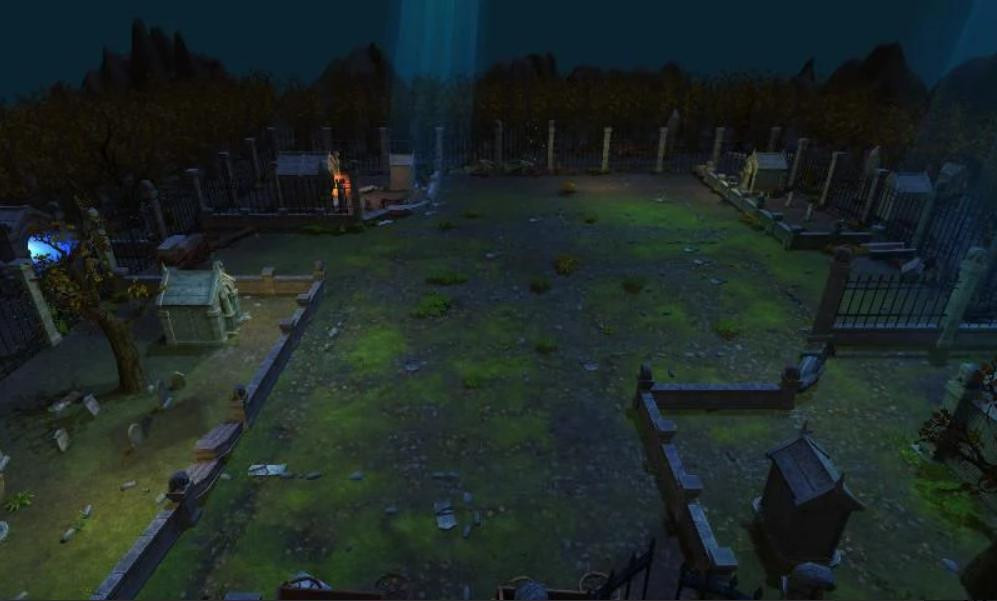 Grave YardGraveyard · 679 yd
 Flat cemetery in CroaghFlat cemetery · 1065 yd
 Cappagh Housecountry house · 1130 yd
 Cappagh CastleCastle · 1647 yd
 Clonshire CastleCastle · 1.1 mi
 Flat cemetery in Kiltenan SouthFlat cemetery · 2.7 mi
 Little HeavenHeritage attraction · 2.7 mi
 Curraghchase Forest ParkForest · 3.2 mi
 GinkgoGinkgo · 4.2 mi
 European YewEuropean Yew · 4.2 mi