What is recorded here
Fairy fort / earthen ringfort in Knockdomny is a fairy fort or earthen ringfort in Knockdomny, County Westmeath, Ireland. Situated in pasture on the southeast-facing slope of Knockdomny Hill, the site was annotated as a fort on the 1837 Ordnance Survey Fair Plan map, which depicted it as a roughly circular earthwork with a thirty-five metre diameter. The 1837 Ordnance Survey six-inch map showed a roughly oval-shaped earthwork, while the revised 1910 edition did not depict it. In 1973, the levelled ringfort was described as a slight depression indicating the position of the fosse on the east side, with no other surface remains visible.
Situated in pasture, on SE-facing slope of Knockdomny Hill. Annotated 'Fort' on the 1837 OS Fair Plan map and depicted as a roughly circular-shaped earthwork (diam. 35m). Depicted on the 1837 OS 6-inch map as a roughly oval-shaped earthwork. Not depicted on the revised 1910 ed. OS 25-inch map. Levelled ringfort described in 1973 as a slight depression in the field, indicating the position of the fosse on the E side of the earthwork. Otherwise there are no other surface remains visible. Levelled monument visible today as a faint oval-shaped cropmark on Digital Globe aerial photography.
Compiled by Alison McQueen, Vera Rahilly and Caimin O’Brien.
Date of upload: 09 November 2019
A fairy fort or earthen ringfort in Knockdomny is a likely early-medieval defensive or domestic site, indicated by its circular earthwork and depiction on 19th-century maps. Local tradition associates such sites with fairy lore, often regarding them as the homes of supernatural beings.
The monument record does not grant public access. Check the route and ask the landowner before entering private land.
- What survives
- Recorded monument
Places near here
 Dún na SíMuseum · 814 yd
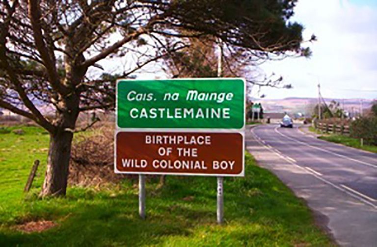 OutlinedFairy fort / earthen ringfort · 844 yd
 Dún na Sí Heritage CentreMuseum · 850 yd
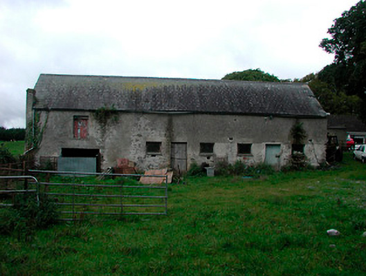 Ballynagarby Housedairy, outbuilding · 1140 yd
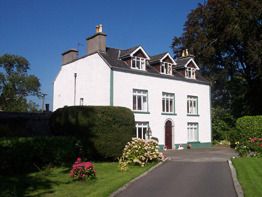 Tullaghnageeragh Houseoutbuilding, house · 1178 yd
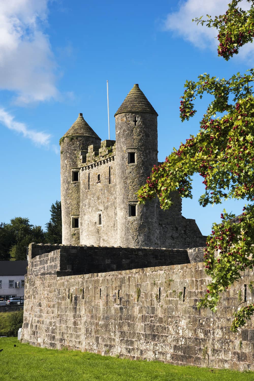 CastleCastle, tower house · 1631 yd
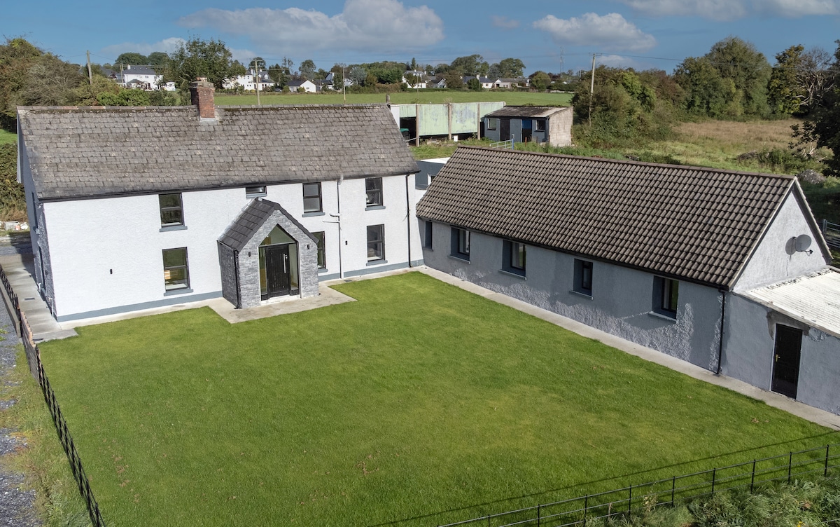 Bawn in DuneganBawn · 1.1 mi
 Charles BianconiMemorial · 1.2 mi
 Moate HillMountain / peak · 1.4 mi
 Roughan HillMountain / peak · 4.6 mi