What is recorded here
Fairy fort / earthen ringfort in Knockdomny is a fairy fort or earthen ringfort in Knockdomny, County Westmeath, Ireland. The 1837 edition Ordnance Survey 6-inch map depicts the site as an oval-shaped earthwork, while the revised 1910 edition 25-inch map shows it as a roughly trapezoidal-shaped earthwork. A possible medieval ringwork lies approximately 140 metres to the south-southwest. The monument is visible today as a roughly D-shaped tree-lined enclosure with a north-south diameter of approximately 43 metres, defined by a linear field boundary running northwest to southeast along the west side.
Situated in undulating pasture. Depicted on the 1837 ed. OS 6-inch map as an oval-shaped earthwork. Depicted on the revised 1910 ed. OS 25-inch map as a roughly trapezoidal-shaped earthwork. A possible medieval ringwork (WM030-073----) lies c. 140m to SSW. Monument is visible today as a roughly D-shaped tree-lined enclosure (approx. diam. 43m N-S) which is defined by a linear field boundary running NW-SE along the W side, on Digital Globe aerial photography. E perimeter of monument is incorporated into a modern house plot.
Compiled by Alison McQueen, Vera Rahilly and Caimin O’Brien.
Date of upload: 08 November 2019
The monument record does not grant public access. Check the route and ask the landowner before entering private land.
- What survives
- Recorded monument
Places near here
 CastleCastle, ringwork · 224 yd
 OutlinedFairy fort / earthen ringfort · 828 yd
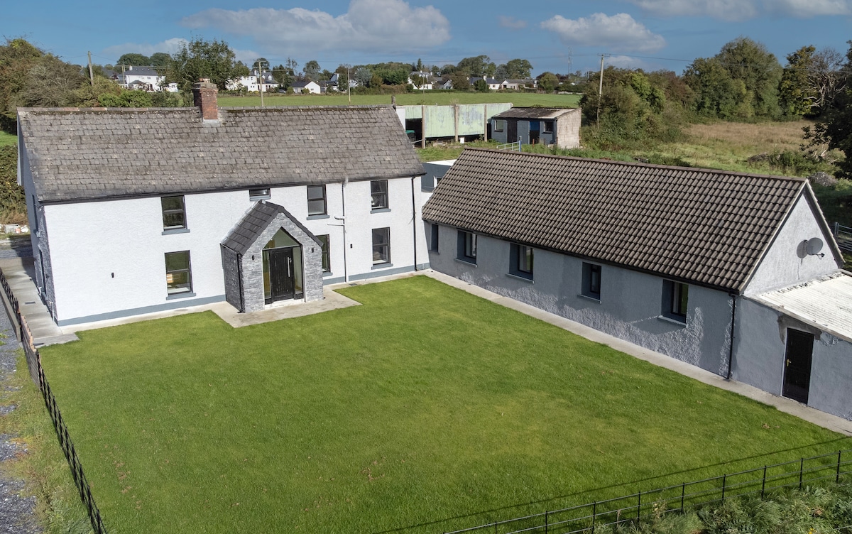 Bawn in DuneganBawn · 1512 yd
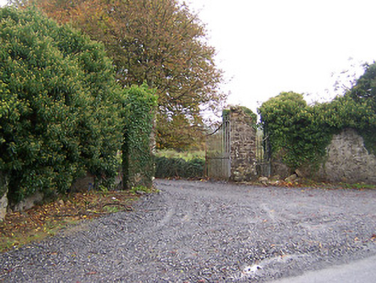 Shurock Housedemesne walls/gates/railings · 1.1 mi
 Dún na Sí Heritage CentreMuseum · 1.1 mi
 Dún na SíMuseum · 1.1 mi
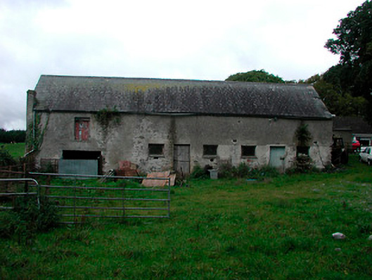 Ballynagarby Housedairy, outbuilding · 1.2 mi
 Charles BianconiMemorial · 1.9 mi
 Moate HillMountain / peak · 2.1 mi
 European ashEuropean ash · 5.1 mi