What is recorded here
Marked only on the 1915 ed. of the OS 6-inch map as a circular enclosure (diam. c. 35m), and situated at the crest of the N end of a short NNW-SSE ridge with outcropping rock. Described as a subcircular area (dims 39m E-W; 34m N-S) defined by an earthen bank (Gannon 1972). An arc (C 33m) of an earthen bank (at SE: Wth 2.8m; int. H 0.7m; ext. H 0.8m) NE-S survives SE of a NE-SW field wall. A hearth (diam. 0.6-0.7m) was found in archaeological testing (02E0616) c. 75m to the NW (Morahan 2004a). Rath (RO042-064----) is c. 180m to the SE.
Compiled by: Michael Moore
Date of upload: 24 August 2010
The monument record does not grant public access. Check the route and ask the landowner before entering private land.
- What survives
- Recorded monument
Places near here
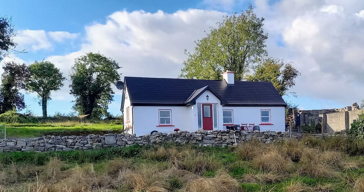 Not idicatedFairy fort / earthen ringfort · 809 yd
 Embanked enclosureFairy fort / earthen ringfort · 912 yd
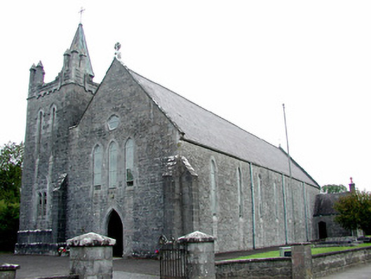 Saint Patrick's Catholic Churchchurch/chapel · 915 yd
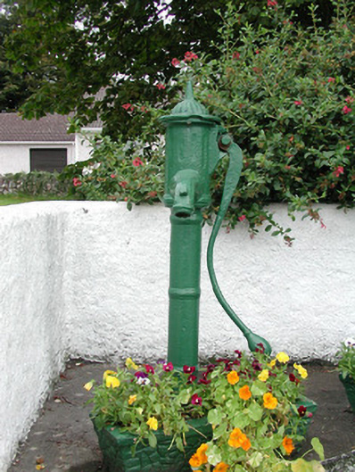 water pumpwater pump · 999 yd
 Hangman's HillMountain / peak · 1389 yd
 CastleCastle, tower house · 1.1 mi
 Galey CastleCastle, tower house · 1.4 mi
 Galey BayBay · 1.6 mi
 Cruit PointHeadland · 2.3 mi
 Ballymurray ForestForest · 2.7 mi
 Sedgy IslandIslet · 2.8 mi
 Dogs IslandIslet · 3.0 mi