What is recorded here
(diam. c. 28m) defined by an earthen bank (base Wth 3.8m; int. H 0.4m; ext. h 0.7m). Interior slopes slightly to ENE. Interior dry and planted with mature coniferous trees. No entrance feature visible. The base of the bank has been revetted with modern herringbone stone walling on N side only.
See attached sketch plan and Google Earth orthoimages
Compiled by: Caimin O'Brien
Date of upload: 26 October 2021
The monument record does not grant public access. Check the route and ask the landowner before entering private land.
- What survives
- Recorded monument
Places near here
 Furnace in KnockcommaneFurnace · 217 yd
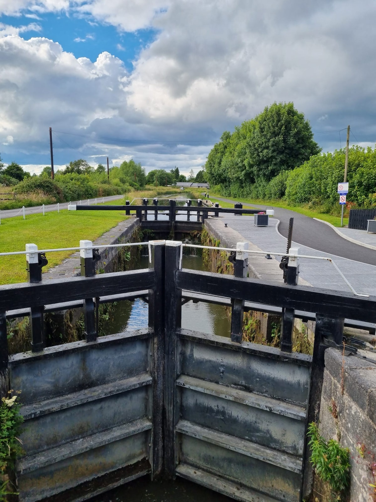 BarrowBarrow, ditch barrow · 548 yd
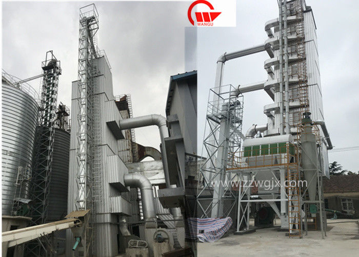 KilnKiln, corn-drying · 756 yd
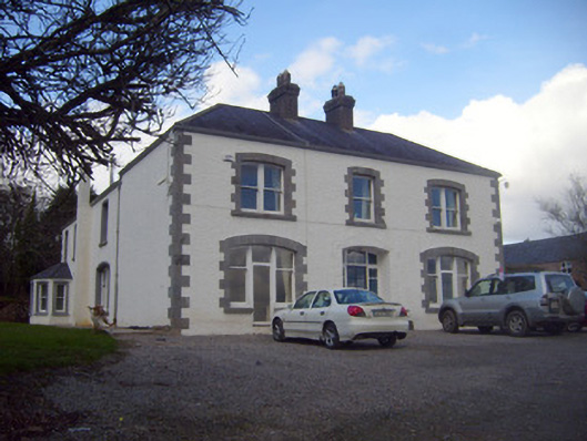 Loughananna Househouse, gate lodge · 1320 yd
 Kilbeheny Castle (in ruins)Castle, tower house · 1.9 mi
 Coopers WoodWood · 2.2 mi
 CastleCastle, ringwork · 2.5 mi
 Seefin North TopMountain / peak · 2.6 mi
 Eagles StepCliff · 3.1 mi
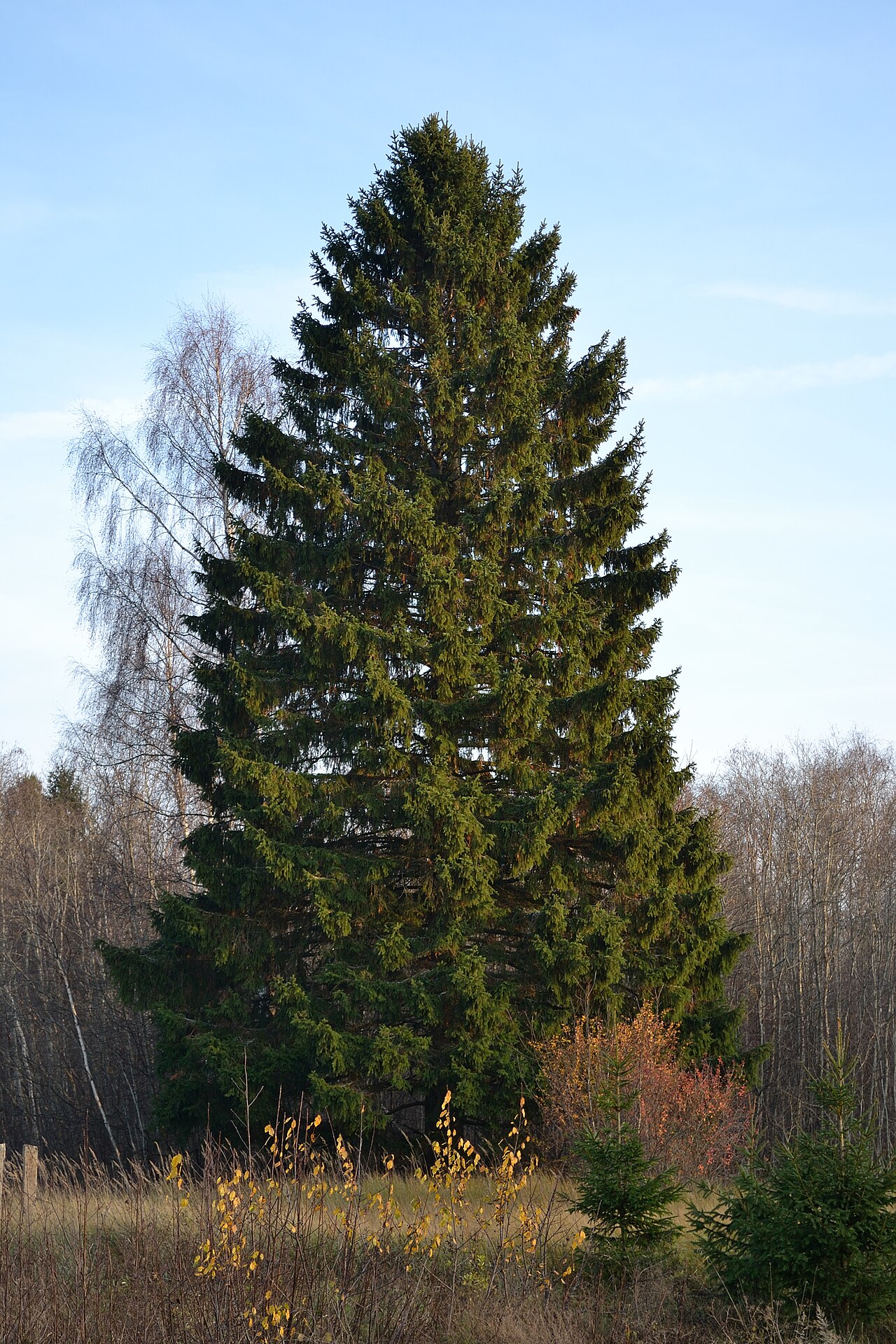 Norway SpruceNorway Spruce · 3.4 mi
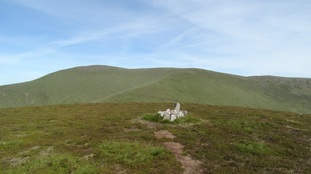 MonabrackMountain / peak · 3.6 mi
 Aircraft Memorial 1976Memorial · 3.7 mi