What is recorded here
Knockbweeheen holds a circular earthen ringfort atop a Limerick hill, its two concentric banks and fosse still framing a level pasture interior. Goats and sheep may have grazed inside for centuries, their hooves packing the soil while gorse and dense vegetation swallowed the outer edges. The wide southern gap and narrow eastern breach suggest repeated human entry, perhaps for trade, worship or flight. Today the quarry beside it and plantation behind it mark how much has changed, yet the fort remains visible in the land itself.
In pasture, atop hill with panoramic views. Circular area (34.5m N-S) enclosed by two concentric earthen banks with an intervening and outer fosse. Inner bank (int. H 0.75m; ext. H 3.4m) overgrown with gorse bushes SW->NE and denuded E->SE. Outer bank (int. H 2.05m; ext. H 1.1m) is covered by dense overgrowth except for section E->SSW. Breaks in outer bank at ENE (Wth c. 2m) and at S (Wth 8m). Wide intervening fosse (Wth 4.2m), covered by overgrowth SSW->E. Outer fosse (Wth 0.9m; D 0.35m) evident S->SE. Field boundaries, indicated on 1923 OS 6-inch map abutting site at NW, NE and S, have been levelled. There is a disused quarry immediately to E, and a coniferous plantation 50m to W. Level interior under pasture.
Compiled by: Denis Power
Date of upload: 26 August 2011
The monument record does not grant public access. Check the route and ask the landowner before entering private land.
- What survives
- Recorded monument
Places near here
 Mound in KnockbweeheenMound · 721 yd
 Lisnagreeve - Hachured (1923Fairy fort / earthen ringfort · 886 yd
 Kilcolman Church (in ruins)Church · 1096 yd
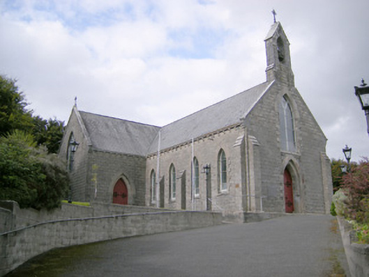 Saint Colman's Catholic Churchchurch/chapel · 1180 yd
 Castle (in ruins)Castle, tower house · 1447 yd
 CahermoyleCastle, unclassified · 1.6 mi
 St. Luke's WellSpring · 1.7 mi
 St. Kieran's WellSpring · 3.2 mi
 Limerick GreenwayWalking route · 5.4 mi
 Monterey CypressMonterey Cypress · 6.4 mi
 Gammarel PointHeadland · 6.5 mi
 Sugar HillMountain / peak · 7.1 mi