What is recorded here
Knockbrown held a true ringfort on a SW-facing slope, mapping its circular line in 1842 before fence removal levelled the earth. The south view stretched unbroken, suggesting the site valued sight as much as defence. Whatever life filled that circle has vanished with the soil, leaving only the memory of a shape that once resisted the sky.
In pasture, on SW-facing slope; extensive view to S. Marked as circular enclosure on OS 6-inch map (1842). Levelled during field fence removal; no visible surface trace.
The above description is derived from the published 'Archaeological Inventory of County Cork. Volume 1: West Cork' (Dublin: Stationery Office, 1992). In certain instances the entries have been revised and updated in the light of recent research.
Date of upload/revision: 14 January 2009
The monument record does not grant public access. Check the route and ask the landowner before entering private land.
- What survives
- Recorded monument
Places near here
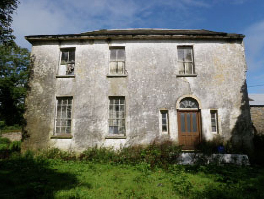 Skeaf Househouse · 1527 yd
 Man-made underground passage in BurraneMan-made underground passage · 1.1 mi
 farmyard complexfarmyard complex · 1.3 mi
 Man-made underground passage in Farran (carbery East (e.d.) By.)Man-made underground passage · 1.3 mi
 Burrane Castle (Site of)Castle, unclassified · 1.6 mi
 Argideen Valley trailVisitor information · 1.9 mi
 Johnny Sheila MurphyMemorial · 1.9 mi
 Argideen Loop WalksVisitor information · 2.3 mi
 Graveyard in KilmalodaGraveyard · 2.4 mi
 English hollyEnglish holly · 2.4 mi
 Monteen Castle (in Ruins)Castle, tower house · 2.5 mi
 Cottage Road WoodWood · 3.5 mi