What is recorded here
Knockbarry holds a circular earthen ringfort on a west-facing slope, marked on maps since 1842 and still bounded by two visible banks. White and blackthorn have strangled most of the entrance, forcing a visitor to push through biting stems before discovering the shallow fosse and inner ridge. The fort refuses easy viewing, preserving the old idea that human boundaries can become fairy traps when neglect reclaims them.
In pasture, on W-facing slope. Depicted as hachured circular enclosure (diam. c. 40m) on 1842 OS 6-inch map, with limekiln in NE bank; hachured as circular raised area (diam. c. 30m) with outer bank to N, E and SW on 1905 and 1937 OS 6-inch maps. Site inaccessible due to white and blackthorn overgrowth except limited area to NW; two enclosing earthen banks visible (inner bank: int. H 0.6m, ext. H 1.6m; outer bank: H 0.5m), with intervening fosse (D 0.4m).
The above description is derived from the published 'Archaeological Inventory of County Cork. Volume 4: North Cork' (Dublin: Stationery Office, 2000). In certain instances the entries have been revised and updated in the light of recent research.
Date of upload/revision: 14 January 2009
The monument record does not grant public access. Check the route and ask the landowner before entering private land.
- What survives
- Recorded monument
Places near here
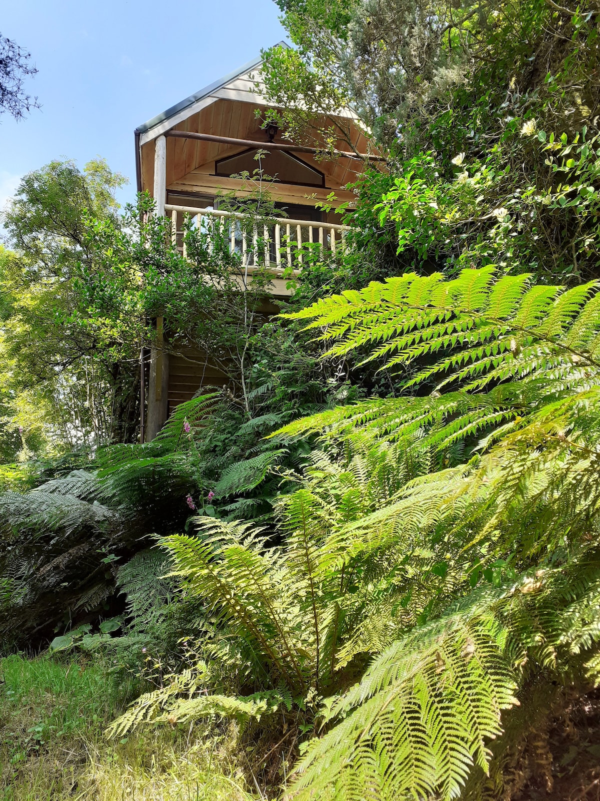 Enclosure in Coolbane (orrery and Kilmore By.)Enclosure · 576 yd
 LisnagrovaFairy fort / earthen ringfort · 641 yd
 Quarry in Coolbane (orrery and Kilmore By.)Quarry · 771 yd
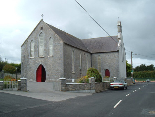 Saint Joseph's Churchchurch/chapel · 1011 yd
 Battle of LiscarrollMajor battlefield · 1206 yd
 Liscarroll CastleCastle · 1301 yd
 Lady's WellSpring · 3.1 mi
 Lisgriffin CastleCastle · 3.2 mi
 Churchtown TrailsVisitor information · 3.5 mi
 Windmill HillMountain / peak · 3.6 mi
 Ballyhoura WayWalking route · 4.6 mi
 European YewEuropean Yew · 5.5 mi