What is recorded here
Knockballyfookeen holds a dense oval of earth and shadow on an NNE-facing slope, its bank rising nearly a metre above the pasture and its fosse cutting half a metre deep. The shape predates the surveyors who measured it in 2008, yet it still excludes ordinary use: a ring of buried rooms, a forgotten kitchen, a place where visibility itself became the point. The Reask River flows a hundred metres away, carrying what the earth refuses to release.
On NNE-facing slope, in pasture, 110m WSW of the Reask River. (O'Dwyer 1959, 73) Ringfort (LI024-054----) lies 180m to WNW. Depicted on the revised 1897 ed. OS 25-inch map as an oval-shaped tree-planted earthwork (approx. 32m E-W; 25m N-S). Surveyed by the ASI in 2008 and described as a densely overgrown, oval-shaped area defined by an earthen bank (int. H 0.35m; ext. H 0.95m; Wth 5.35m), an intervening fosse (overall Wth 3.45m; base Wth 1.15m; D 0.4m) and a possible outer bank (int. H 0.4m; ext. H 0.25m; Wth 5.75m) with possible entrance (Wth 4m at top; base Wth 1.5m) at ENE . The bank is visible from ESE-S-W-N-ENE and is reduced to a scarp (H0.65m) from ENE-E-ESE. The intervening fosse is visible from SE-S-W-N and is best defined from S-W. There is a short portion of a possible outer bank visible only from W-WNW. Monument is visible as a tree-lined earthwork on Digital Globe orthophotos taken 2011-13 and on Google Earth orthoimages taken 28/06/2018.
See attached plan and cross-sections surveyed and drawn by the ASI.
Compiled by: Alison McQueen and Vera Rahilly
Date of upload: 15 July 2020
The monument record does not grant public access. Check the route and ask the landowner before entering private land.
- What survives
- Recorded monument
Places near here
 Cross Tuck MillsWater mill, unclassified · 178 yd
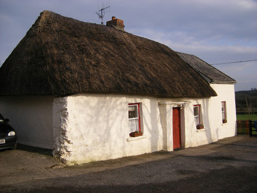 Highstreethouse · 629 yd
 Enclosure in Cross (coonagh By.)Enclosure · 747 yd
 RathbaunArchaeological place · 871 yd
 ToberagaddySpring · 1422 yd
 Kilduff CastleCastle · 1640 yd
 Kilduff Castle (in ruins)Castle, tower house · 1642 yd
 KnockseefinMountain / peak · 2.1 mi
 Oola HillMountain / peak · 3.2 mi
 St. Patrick's WellSpring · 4.2 mi
 Flat cemetery in Knockainy WestFlat cemetery · 8.4 mi
 Mound in KnockballyfookeenMound · 896 yd