What is recorded here
Knockavinnane holds a earthen ringfort where local story calls it a fairy fort, tying human defence and fairy mischief in one shallow dish of soil. The ridge may have shielded people, marked territory or simply given shape to old fear. Whatever it was, the land still treats it like a living thing, hiding its edges under grass and refusing to explain itself.
The Archaeological Survey of Ireland (ASI) is in the process of providing information on all monuments on The Historic Environment Viewer (HEV). Currently the information for this record has not been uploaded. To access available information for research purposes please make an appointment in advance with the Archive Unit (open Fridays 10.00 am – 5.00 pm), Department of Housing, Local Government and Heritage, The Custom House, Dublin 1 D01W6XO or email NMarchive@housing.gov.ie.
The monument record does not grant public access. Check the route and ask the landowner before entering private land.
- What survives
- Recorded monument
Places near here
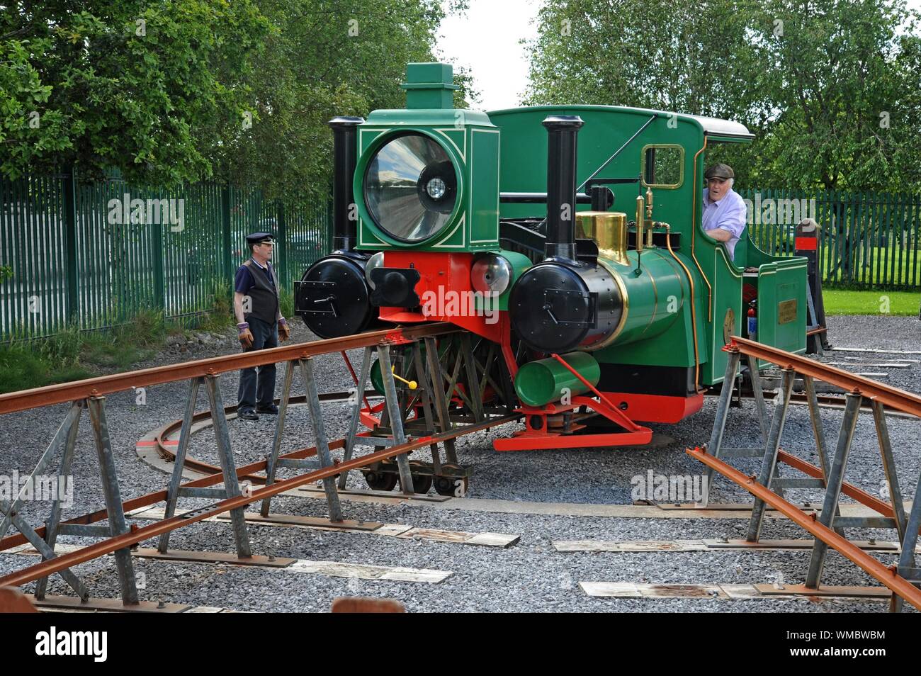 Field system in BallymacthomasField system · 721 yd
 Kilquane Church (in Ruins)Church · 731 yd
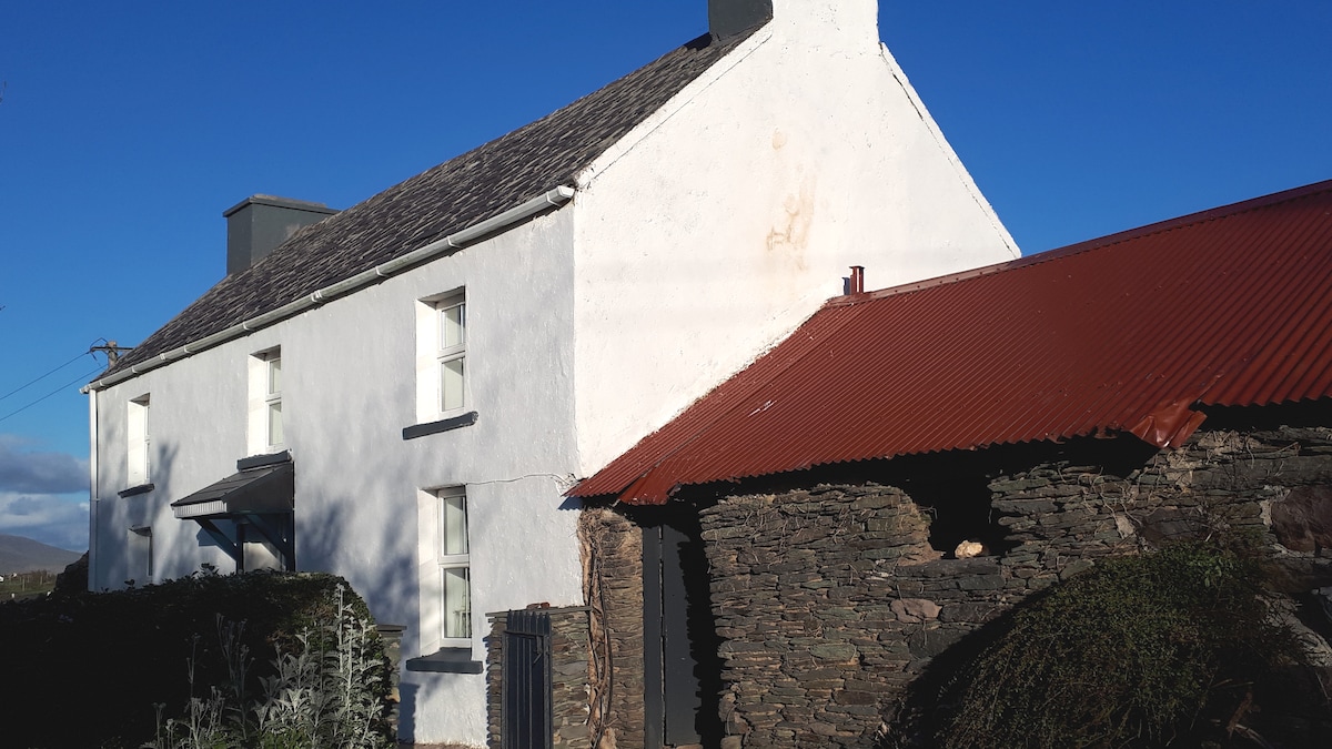 Enclosure in BallymacthomasEnclosure · 1059 yd
 PoulatouirtCave · 1248 yd
 IndicatedCastle, unclassified · 1510 yd
 Poulclashcannon (blocked)Cave · 1546 yd
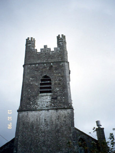 Ballymacelligott Churchchurch/chapel · 1705 yd
 Site of McElligotts CastleCastle, unclassified · 1.1 mi
 Common AlderCommon Alder · 1.1 mi
 Monument WoodWood · 1.6 mi
 Civil War MemorialMemorial · 3.3 mi
 CruslineMountain / peak · 3.6 mi