What is recorded here
Knockaunroe holds a broken ring where human hands cut stone and raised earth before memory faded. The fort faces west across open fields, inviting rain, breath and forgetting. What is missing has not stopped arriving; it has changed the shape of the journey.
On NW-facing slope, in pasture, with excellent views from SW-W-N-NE. Surveyed by the ASI in 2008 and described as a circular-shaped area (27m E-W; 25m N-S) enclosed by a bank (Wth 5.15m; int. H 0.45m; ext. H 1.65m) visible from W-N and reduced to a scarp (H H 0.65m) from N-NNE-NE, with external fosse (Wth 6.9m; D 1.3m) is visible from E-S-WSW. The monument is cut into the upslope on S side and raised on N side to compensate for hillslope. The interior has a gentle NW-facing slope. Monument is visible as a circular-shaped tree-lined earthwork on ASI aerial photogrpahs (ASIAP 133, 1; 353, 3) taken 23/08/2000 and 05/01/2003. Visible on Google Earth orthoimages taken 28/06/2018.
See attached sketch plan and cross-sections surveyed and drawn by the ASI.
See attached Google Earth orthoimages
Compiled by: Alison McQueen and Vera Rahilly
Date of upload: 19 July 2020
The monument record does not grant public access. Check the route and ask the landowner before entering private land.
- What survives
- Recorded monument
Places near here
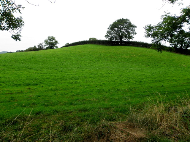 BarrowBarrow, ditch barrow · 910 yd
 Enclosure in KnockderkEnclosure · 1022 yd
 (Site of) CastleCastle, unclassified · 1312 yd
 Pallas MoatCastle, motte · 1325 yd
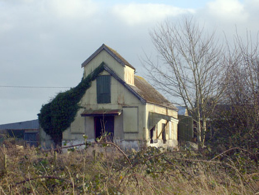 Race Creamerycreamery · 1510 yd
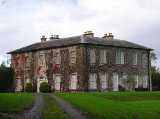 Derkcountry house · 1.2 mi
 St. Patrick's WellSpring · 1.6 mi
 KnockseefinMountain / peak · 1.7 mi
 Kilteely HillMountain / peak · 1.9 mi
 ToberagaddySpring · 2.4 mi
 Flat cemetery in Knockainy WestFlat cemetery · 5.8 mi
 Ballinvreena LoopVisitor information · 10 mi