What is recorded here
Knockatooan held a thirty-metre earthen ring on a gentle slope, bright enough in 1935 for surveyors to map its shadow before human hands smoothed it into pasture. A thin bank still rises near the northeast stone boundary, while differential grass growth reveals the buried curve elsewhere. The fairies kept their fort by refusing to be forgotten, using ordinary soil and human negligence to preserve what arrogance would have erased.
In pasture, on gentle SW-facing slope. Depicted as hachured circular raised area (diam. c. 30m) on 1935 OS 6-inch map, bisected off-centre to E by N-S field boundary. Levelled; earthen bank (int. H 0.55m; ext. H 0.8m) survives to NE for 2m, on E side of stone field boundary; levelled bank visible NE->SE due to differential growth pattern; low rise survives NW->NNE. Interior level. According to local information, low bank enclosing NE quadrant levelled c. 1981.
The above description is derived from the published 'Archaeological Inventory of County Cork. Volume 4: North Cork' (Dublin: Stationery Office, 2000). In certain instances the entries have been revised and updated in the light of recent research.
Date of upload/revision: 14 January 2009
A fairy fort in Knockatooan is an earthen ringfort, likely dating to the early medieval period, with a circular raised area and a surviving bank. Local folklore, common to many such sites in Ireland, associates it with the faé or supernatural beings.
The monument record does not grant public access. Check the route and ask the landowner before entering private land.
- What survives
- Recorded monument
Places near here
 Three CountiesPicnic place · 865 yd
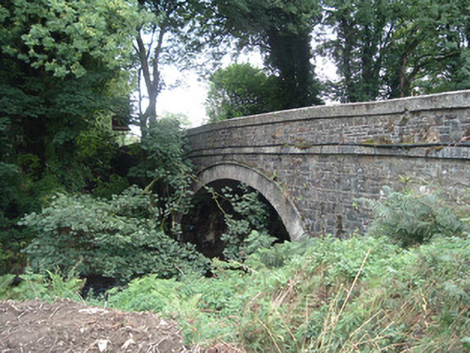 Breanagh Bridgebridge · 885 yd
 BarrowBarrow, bowl-barrow · 929 yd
 Enclosure in AcresEnclosure · 1533 yd
 KilnKiln, lime · 1.4 mi
 Rock HillMountain / peak · 4.2 mi
 TaurMountain / peak · 5.2 mi
 Glenquin CastleCastle · 7.7 mi
 TobereenalaffinaSpring · 7.8 mi
 Kilmurry CastleCastle · 8.3 mi
 Saint Ite's WellSpring · 8.5 mi
 Crag CaveCave · 10 mi