What is recorded here
Knockateery holds a substantial earthen ringfort with a waterlogged fosse and a southern entrance causeway. The earth rises thirty metres across, shaping a room large enough for humans, stock, or the uncertain beings local stories favour. Its broken bank and deep ditch still mark the boundary between the lived field and the hidden world.
Raised almost circular area (int. dims. 30.5m NW-SE; 27.5m NE-SW) enclosed by a substantial earthen bank and a wide, deep, partly waterlogged fosse outside of which is a poorly defined counterscarp bank running from N-E-SSW. Break in bank with accompanying causeway at SE represents original entrance.
The above description is derived from the published 'Archaeological Inventory of County Cavan' (Dublin: Stationery Office, 1995). In certain instances the entries have been revised and updated in the light of recent research.
Date of upload/revision: 22 December 2008
The monument record does not grant public access. Check the route and ask the landowner before entering private land.
- What survives
- Recorded monument
Places near here
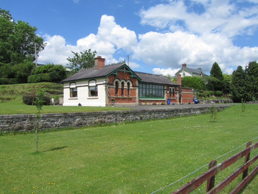 railway stationrailway station · 434 yd
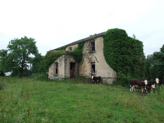 Prospect Housecountry house · 693 yd
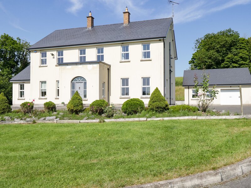 Rock WoodWood · 948 yd
 Cloverhill DemesneForest · 1068 yd
 IndicatedFairy fort / earthen ringfort · 1073 yd
 Standing StoneArchaeological place · 1.2 mi
 Bawn in KillyfanaBawn · 1.6 mi
 DrumakeenanMountain / peak · 1.8 mi
 Annagh Lough BeachBeach / strand · 1.9 mi
 RuinsHouse, fortified house · 2.2 mi
 DrumcalpinMountain / peak · 2.4 mi
 Giants GraveArchaeological place · 2.7 mi