What is recorded here
Knockantota North holds a forgotten ringfort, buried beneath pasture on an east-facing slope. The 1904 survey captured its twenty-metre circle before erosion and ploughing erased the visible trace. People likely lived there, loved there, and disappeared into the ordinary flow of centuries. The grass still covers the shape of their choices.
Shown only on 1904 OS 6-inch map as hachured circular enclosure (diam. c. 20m) within small rectangular field (c. 51m E-W; c. 40m N-S). In pasture, on E-facing slope. No visible surface trace.
The above description is derived from the published 'Archaeological Inventory of County Cork. Volume 3: Mid Cork' (Dublin: Stationery Office, 1997). In certain instances the entries have been revised and updated in the light of recent research.
Date of upload/revision: 14 January 2009
The monument record does not grant public access. Check the route and ask the landowner before entering private land.
- What survives
- Recorded monument
Places near here
 Rock HillMountain / peak · 641 yd
 Castle (Site of)Castle, Anglo-Norman masonry castle · 683 yd
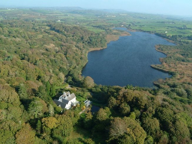 LissardFairy fort / earthen ringfort · 937 yd
 Mound in Lissard (barretts By.)Mound · 1.0 mi
 Lyradane MountainMountain / peak · 1.3 mi
 IndicatedKiln, lime · 1.8 mi
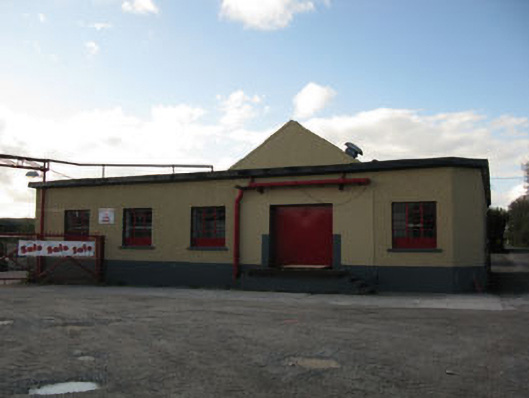 Rathduff Creamerycreamery · 1.8 mi
 St John's WellSpring · 2.9 mi
 Castle Barrett (in Ruins)Castle, Anglo-Norman masonry castle · 3.4 mi
 Pairc Ath Na hEornaMemorial · 3.7 mi
 Graveyard in KilmonaGraveyard · 3.7 mi
 New TipperaryVisitor information · 5.6 mi