What is recorded here
Knockanerry holds a fifteen-metre earthen ring on a damp Limerick hill, its scarped edge trembling beneath cattle hooves and dense scrub. The fort faces east and south, watching the valley while forgotten people likely breathed inside its shallow walls. It is not a grand castle but a small human marker, still standing where the land remembers shape.
Situated on a gentle hill in poorly-drained, undulating pasture, c. 50 m E of a stream, with good views to NE, E and S. The monument is obscured by dense scrub vegetation. It is evident as a roughly circular area (17m E-W; 15.6m N-S) defined by a scarped edge (Wth 2.3m; H 1.2m). There is a slight bank (Wth 0.8m; H 0.2m) atop the scarp at NW. The scarp is heavily poached by cattle.
Compiled by: Denis Power
Date of upload: 18 June 2013
The monument record does not grant public access. Check the route and ask the landowner before entering private land.
- What survives
- Recorded monument
Places near here
 Castle Comforthouse · 224 yd
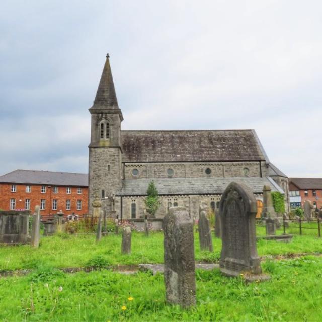 Burial in FarnaneBurial · 282 yd
 Saint John's Church (Abington)church/chapel · 660 yd
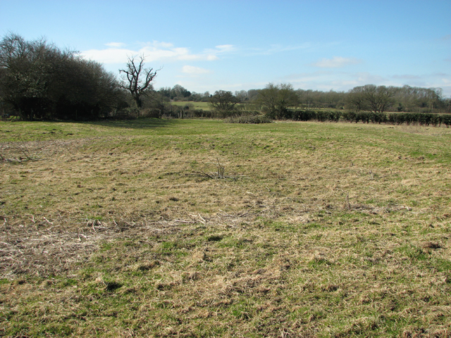 Settlement desertedSettlement deserted, medieval · 1193 yd
 Graveyard in AbingtonGraveyard · 1273 yd
 CastleCastle, unclassified · 1294 yd
 Sliev Felim WayVisitor information · 1381 yd
 Bawn in RathBawn · 1.3 mi
 Slieve Felim WayWalking route · 3.8 mi
 Slieve FelimMountain / peak · 4.8 mi
 KnockseefinMountain / peak · 5.9 mi
 St. Patrick's WellSpring · 8.0 mi