What is recorded here
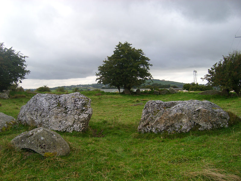
On the S face of an E-W ridge. A subcircular rath (diam. c. 28m) visible on the OS 25-inch map and on both editions of the OS 6-inch map. ‘Mulladarragh’ rath (WI021-008----) adjoins this rath immediately to the NE. Portion of the bank remains almost opposite the SW entrance to Mulladarragh rath.
Compiled by: Mary Tunney
Date of upload: 4 December 2012
A fairy fort or earthen ringfort in Knockandarragh is a subcircular early-medieval defensive or agricultural enclosure, likely dating to between the 5th and 10th centuries AD. Local tradition associates such sites with the supernatural, often referring to them as dwellings of the fairies or ancient Irish Otherworld beings.
The monument record does not grant public access. Check the route and ask the landowner before entering private land.
- What survives
- Recorded monument
Places near here
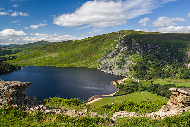 Mulladarragh RathFairy fort / earthen ringfort · 56 yd
 Embanked enclosureFairy fort / earthen ringfort · 937 yd
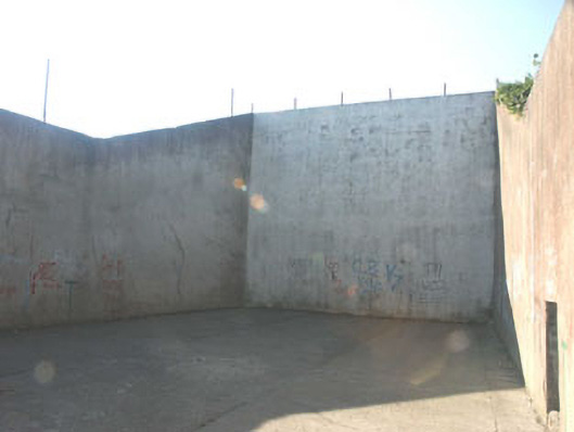 handball alleyhandball alley · 1515 yd
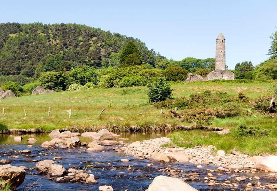 Ball MoatCastle, motte · 1562 yd
 Pedunculate OakPedunculate Oak · 1579 yd
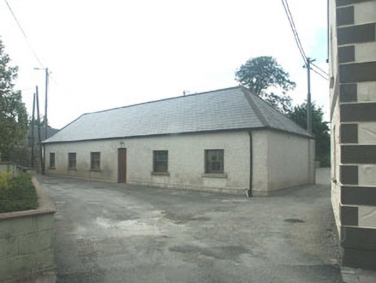 Donard National Schoolschool · 1583 yd
 PinnacleMountain / peak · 1.4 mi
 SugarloafMountain / peak · 1.6 mi
 English hollyEnglish holly · 1.7 mi
 CastleCastle, motte · 2.2 mi
 Michael Dwyer MemorialMemorial · 2.8 mi
 Artillery MemorialMemorial · 2.8 mi