What is recorded here
Knockahaw held a true ringfort on an ENE-facing slope, wide enough for forty paces and marked as a fort on the 1837 map. People called it a fairy fort, perhaps because the earth kept a shape that resisted ordinary explanation. Golf courses and grading have since taken much of that shape back, leaving only a hidden circle beneath the grass.
On an ENE-facing slope within a modern golf course. Depicted as a circular enclosure with the designation 'Fort' on the 1837 ed. of the OS 6-inch map. A report in 1975 (SMR file) recorded that, although the monument had been levelled, the outline of a bank with an external fosse could still be traced enclosing a subcircular area (c. 43m WNW-ESE; c. 37m NNE-SSW). Further levelling has since occurred and the monument is no longer visible at ground level.
Compiled by: Patrick F. O'Donovan
Date of upload: 26 August 2011
The monument record does not grant public access. Check the route and ask the landowner before entering private land.
- What survives
- Recorded monument
Places near here
 BarrowBarrow, unclassified · 448 yd
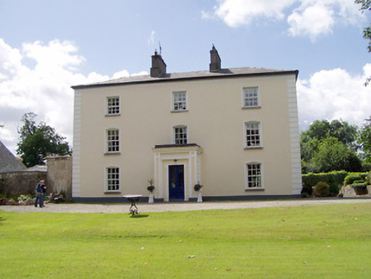 Viewmount Househouse · 476 yd
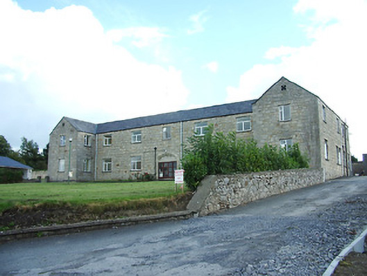 Longford Regional Hospitalhospital/infirmary · 687 yd
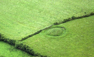 Fairy fort / earthen ringfort in ArdnacassaghFairy fort / earthen ringfort · 1046 yd
 Saint Mel's CathedralCathedral · 1605 yd
 First World War MemorialMemorial · 1685 yd
 Bawn in AbbeycartronBawn · 1.2 mi
 CastleCastle, Anglo-Norman masonry castle · 2.4 mi
 Graveyard in Curry (ardagh By., Coolamber Ed)Graveyard · 2.9 mi
 St. Barry's WellSpring · 6.1 mi
 Long IslandIslet · 6.6 mi
 Commons North WalkVisitor information · 9.4 mi