What is recorded here
Knockagallane holds a twenty-two-foot earthen ring on John Murphy's land, double-fenced and partially levelled but still eight feet high at its greatest point. The boundary crossed private ground and inspection was refused, closing the question rather than answering it. A hidden passage may still breathe beneath the soil, waiting for someone bold enough to dig where ownership and mystery both resist.
Shown as hachured circular enclosure (diam. c. 22m) on 1842 OS 6-inch map; E side levelled and fosse depicted S->N on 1904 and 1938 OS 6-inch maps. Permission to inspect site refused. Broker (1937, 46) recorded on 'John Murphy's land -Fort, 1/4 acre, double fence, both partially levelled. 8 feet at highest'. Possible Man-made underground passage (9064) in interior.
The above description is derived from the published 'Archaeological Inventory of County Cork. Volume 3: Mid Cork' (Dublin: Stationery Office, 1997). In certain instances the entries have been revised and updated in the light of recent research.
Date of upload/revision: 14 January 2009
The monument record does not grant public access. Check the route and ask the landowner before entering private land.
- What survives
- Recorded monument
Places near here
 Fulacht fia in Carrigaline (duhallow By.)Fulacht fia · 1281 yd
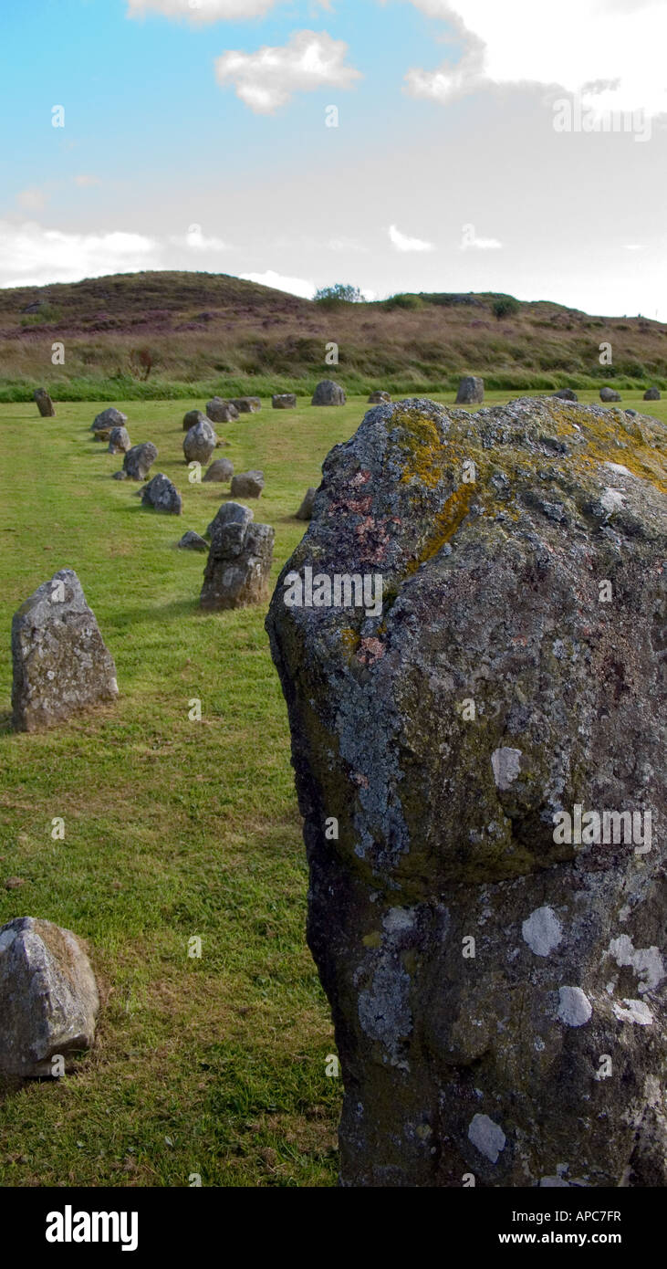 BarrowBarrow, ring-barrow · 1.0 mi
 Chapel in RathduaneChapel · 1.1 mi
 Church of Our Lady of Lourdeschurch/chapel · 1.2 mi
 Caherbarnagh East TopMountain / peak · 1.8 mi
 Caherbarnagh NW TopMountain / peak · 2.1 mi
 Nohaval WoodWood · 3.3 mi
 Wildlife of the UplandsVisitor information · 3.4 mi
 Birds of DuhallowVisitor information · 3.5 mi
 Millstreet Museum & Tourist Information CentreMuseum · 3.8 mi
 RowanRowan · 3.9 mi
 Kilmeedy CastleCastle, tower house · 3.9 mi