What is recorded here
Knockaderry holds a seventy-eight-metre earthen ring where human hands shaped the hillock before ploughs and pasture softened its edges. The darker grass still traces the outer ditch, and stunted growth marks the buried bank, proving the circle resists forgetting. People may have lived inside that shallow scarped edge, raising children or losing lovers to the ordinary churn of centuries. The fairies keep what the farmers took back, waiting for the grass to reveal the shape again.
In level pasture, atop hillock. Monument, depicted on 1924 OS 6-inch map as roughly circular embanked enclosure, has been partially levelled and incorporated into pasture field. Now apparent as circular area (diam. 78m) defined by a scarped edge (H 0.35m; Wth 4m) with an external fosse (D 0.25m; Wth 3m). Line of fosse accentuated by band of darker grass, whilst stunted growth along top edge of scarp may indicate line of a levelled bank.
Compiled by: Denis Power
Date of upload: 26 August 2011
The monument record does not grant public access. Check the route and ask the landowner before entering private land.
- What survives
- Recorded monument
Places near here
 Knockaderry Housecountry house · 558 yd
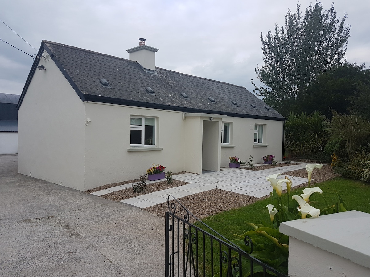 Enclosure in KnockaderryEnclosure · 671 yd
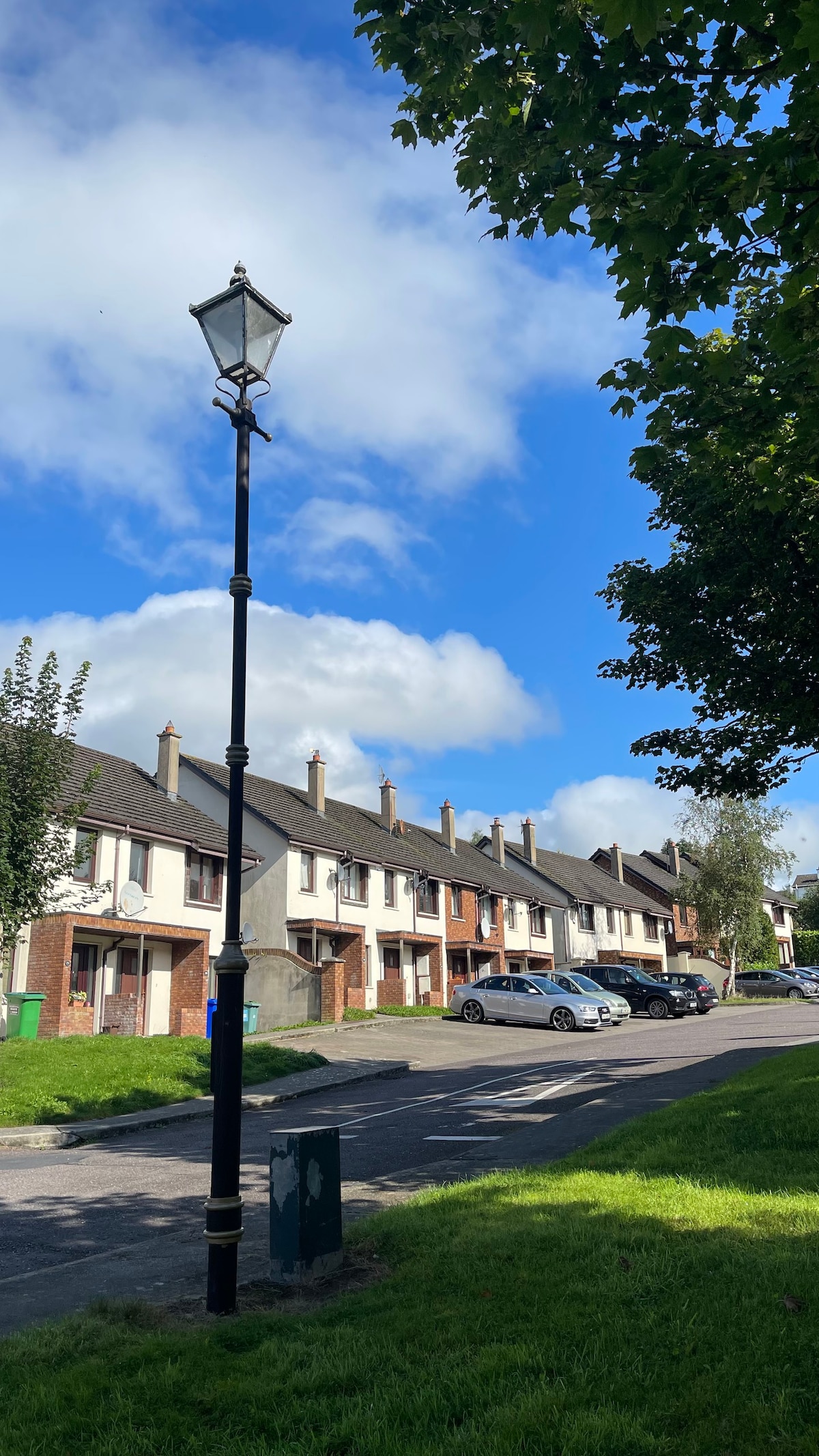 Lissanaska HachuredFairy fort / earthen ringfort · 981 yd
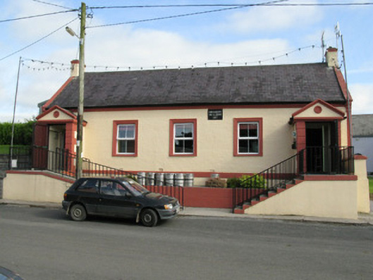 Knockaderry Hall and Libraryhall · 1435 yd
 CastleCastle, tower house · 1.9 mi
 European ashEuropean ash · 1.9 mi
 Ballynoe Castle (in ruins)Castle, tower house · 2.1 mi
 LaghtpatrickSpring · 2.4 mi
 Lady's WellSpring · 2.8 mi
 Limerick GreenwayWalking route · 6.6 mi
 Ballagh MountainMountain / peak · 7.9 mi
 Sugar HillMountain / peak · 7.9 mi