What is recorded here
Knockacraig held a forty-five metre earthen ringfort before ploughs and development erased its banks. The earth still marks a rough circular band in the pasture, preserving the shape even though the boundary and monument have been levelled. It is a fairy fort in name and memory, but the cleared ground suggests ordinary people lived there, worked there and were forgotten there.
In level pasture. Monument, depicted as embanked circular enclosure (diam. c. 45m) on 1924 OS 6-inch map, has been levelled. A circular band of rougher ground (diam. c. 50m) in pasture field indicates location of enclosure. Surrounding field boundaries have also been levelled.
Compiled by: Denis Power
Date of upload: 26 August 2011
The monument record does not grant public access. Check the route and ask the landowner before entering private land.
- What survives
- Recorded monument
Places near here
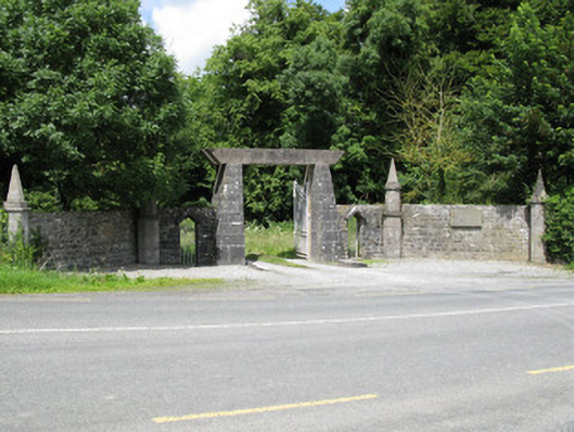 Springfield Castledemesne walls/gates/railings · 1070 yd
 Enclosure in BallinlongigEnclosure · 1198 yd
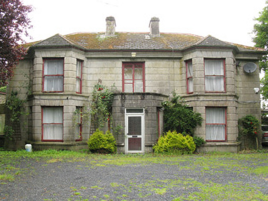 Woodfield Househouse · 1322 yd
 DromcolliherSettlement cluster · 1635 yd
 National Co-op MuseumMuseum · 1.0 mi
 Castle (in ruins), Springfield CastleCastle, tower house · 1.3 mi
 ToberacappeenSpring · 1.7 mi
 CastleCastle, unclassified · 1.7 mi
 ToberhoranSpring · 2.8 mi
 Mullaghareirk - Banane LoopWalking route · 5.4 mi
 Ballagh MountainMountain / peak · 6.5 mi
 Rock HillMountain / peak · 8.0 mi