What is recorded here
Knockacraig held a thirty-metre earthen ring on a north-facing slope, but ploughs and time have smoothed most of its edge. A curving field boundary still traces part of the lost circle, preserving the shape of a home or stronghold that no longer stands proud. The fairies may have taken the fort back, leaving only a shallow scar and a border line to mark where human hands once shaped the land.
In pasture, on N-facing slope. Monument, depicted as roughly circular embanked enclosure (diam. c. 30m) on 1924 OS 6-inch map, has been levelled. However, curving field boundary respects line of enclosure NNE->SE, and very slight scarped edge can be traced SSW->NNW. Interior, under pasture, slopes down gently to N. Field boundary, shown abutting enclosure at SW on 1901 OS 6-inch map, has been removed.
Compiled by: Denis Power
Date of upload: 26 August 2011
This remains an important historical record, but the official description says the monument is no longer visible or has been destroyed. The monument record does not grant public access. Check the route and ask the landowner before entering private land.
- What survives
- No visible remains or recorded as destroyed
Places near here
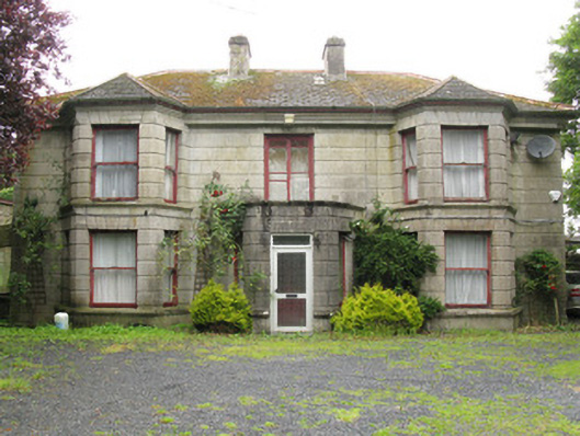 Woodfield Househouse · 677 yd
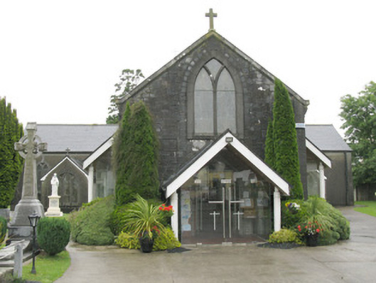 Saint Bartholomew's Catholic Churchchurch/chapel · 826 yd
 DromcolliherSettlement cluster · 936 yd
 Enclosure in BallinlongigEnclosure · 1096 yd
 National Co-op MuseumMuseum · 1145 yd
 ToberacappeenSpring · 1.4 mi
 CastleCastle, unclassified · 1.4 mi
 Castle (in ruins), Springfield CastleCastle, tower house · 1.6 mi
 ToberhoranSpring · 2.8 mi
 Mullaghareirk - Banane LoopWalking route · 5.8 mi
 Ballagh MountainMountain / peak · 6.9 mi
 Battle of LiscarrollMajor battlefield · 7.5 mi