What is recorded here
Knockacraig held a thirty-metre earthen ring on a north-facing slope until ploughing erased it. The field boundary still curves around the ghost of that circle, proving the land remembers what the soil forgot. Humans may have lived there, feared there, or simply followed the ancient line while passing.
In pasture, on N-facing slope. Monument, depicted as embanked circular (diam. c. 30m) enclosure on 1924 OS 6-inch map, has been levelled. No trace of monument evident when inspected. Field boundary curves to respect enclosure NW->E.
Compiled by: Denis Power
Date of upload: 26 August 2011
The monument record does not grant public access. Check the route and ask the landowner before entering private land.
- What survives
- Recorded monument
Places near here
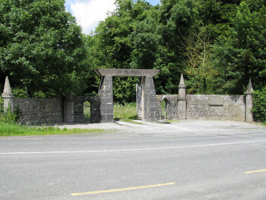 Springfield Castledemesne walls/gates/railings · 1082 yd
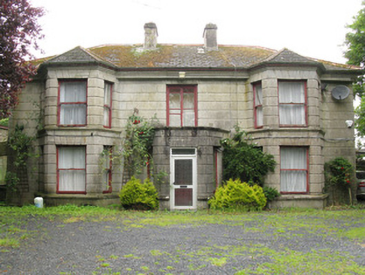 Woodfield Househouse · 1383 yd
 Enclosure in BallinlongigEnclosure · 1428 yd
 DromcolliherSettlement cluster · 1718 yd
 National Co-op MuseumMuseum · 1.1 mi
 Castle (in ruins), Springfield CastleCastle, tower house · 1.3 mi
 ToberacappeenSpring · 1.8 mi
 CastleCastle, unclassified · 1.9 mi
 ToberhoranSpring · 2.9 mi
 Mullaghareirk - Banane LoopWalking route · 5.3 mi
 Ballagh MountainMountain / peak · 6.5 mi
 Stanner's Glen, Priory WoodWood · 7.9 mi