What is recorded here
Knock holds a forty-metre earthen ring on a high ridge, marked by a damaged fosse and a southwest gap. Medieval stone work later climbed the bank, suggesting a ordinary fort became a armed castle. The fairy name may be local imagination or a forgotten human home, but the earth still shapes the boundary and the ridge still faces east.
Situated on the E facing slope of a high ridge running N-S in undulating countryside. Sub-circular area (diam 40m) enclosed by an earthen bank with evidence of stone revetment in its construction (Wth 2m; ext. H 3m; int. H 0.5m) with external fosse (Wth 2.5m; ext. D 1m) which is badly damaged and causewayed entrance gap (Wth 2.5m) at SW. There is evidence of a stone building on the NW side of the enclosing bank which appears to be the wall footings of a possible tower house or an unclassifed castle (OF039-031002-) of medieval date. Running around the top of the earthen bank are the possible foundations of a stone wall with possible corner tower at SE sector. Possibly a ringfort which has been fortified in the medieval period.
The above description is derived from the published 'Archaeological Inventory of County Offaly' (Dublin: Stationery Office, 1997). In certain instances the entries have been revised and updated in the light of recent research.
Date of upload: 23 May 2011
The monument record does not grant public access. Check the route and ask the landowner before entering private land.
- What survives
- Recorded monument
Places near here
 Bergin's FortArchaeological place · 5 yd
 CastleCastle, tower house · 15 yd
 Leap Castlegate lodge · 409 yd
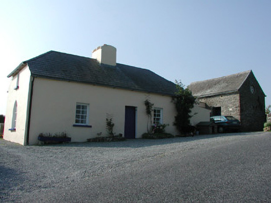 worker's houseworker's house · 552 yd
 Horan's WoodWood · 678 yd
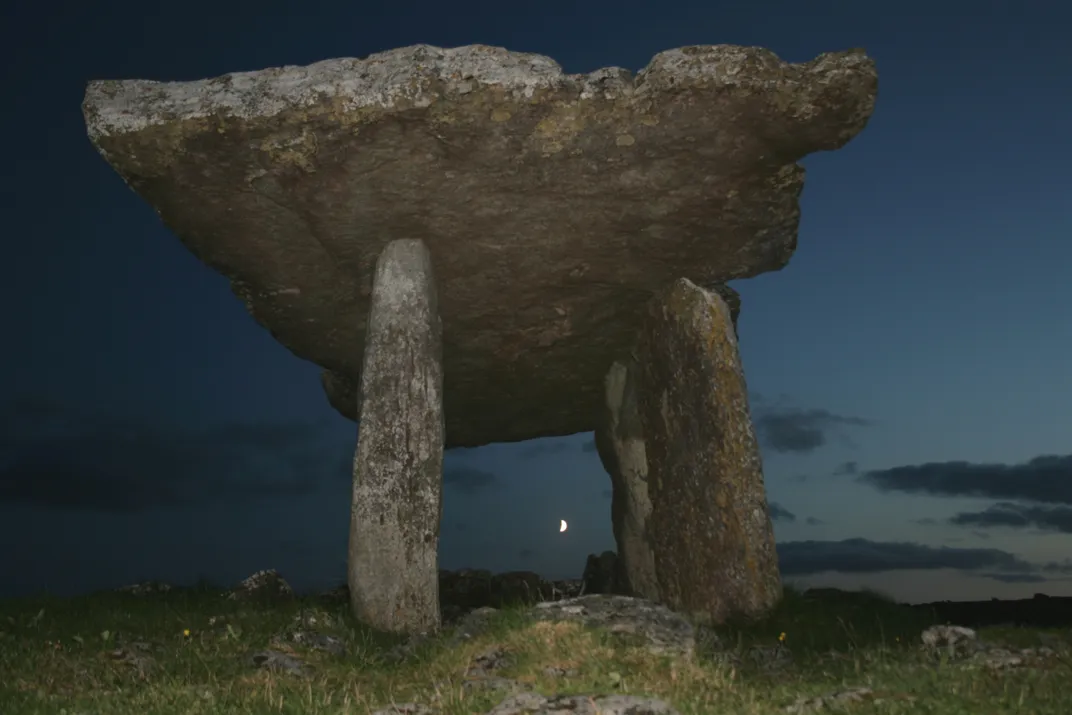 Megalithic tomb in Ballywilliam (ballybrit By., Aghancon Ed)Megalithic tomb · 730 yd
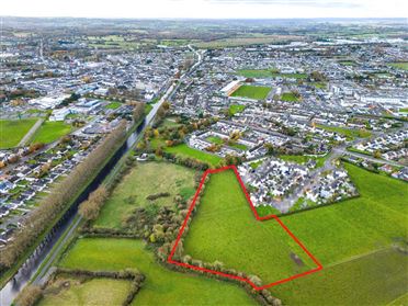 Ballywilliam WoodWood · 750 yd
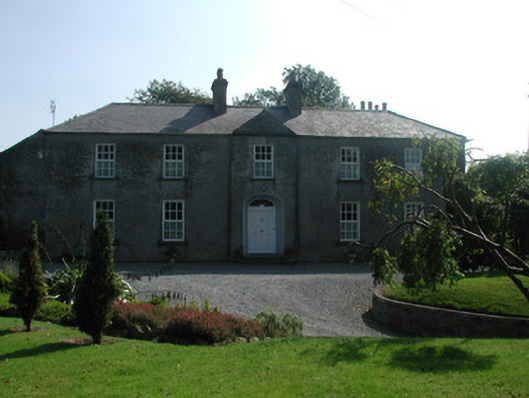 The Rectoryrectory/glebe/vicarage/curate's house · 1589 yd
 Glenacurragh CastleCastle, tower house · 1661 yd
 Birr Heritage CentreMuseum · 6.0 mi
 Waterfall PointViewpoint · 6.1 mi
 James Franklin FullerMemorial · 6.2 mi