What is recorded here
Fairy fort / earthen ringfort in Kintogher is a fairy fort or earthen ringfort in Kintogher, County Sligo, Ireland. The earthen scarp reaches 1.8m in height and encloses a roughly circular area measuring 25m east-west and 23m north-south. A lane running northeast to southwest has cut through the western and eastern edges, removing the original entrance and leaving the scarped boundary strongest from northeast to south-southwest.
Situated on a slight rise in gently undulating pasture. Originally circular but now truncated by a lane and comprising a roughly circular raised area (dims. 25m E-W; 23m N-S) enclosed by an earthen scarp (ext. H 1.8m). There is no fosse visible at ground level. The scarped edge is best preserved NE-SSW and is very slight SSW-WNW. From WNW-NE the site has been truncated by a NE-SW orientated lane. The original entrance is not recognisable.
Compiled by: Patrick F. O'Donovan
Date of upload: 21 April 2011
The monument record does not grant public access. Check the route and ask the landowner before entering private land.
- What survives
- Recorded monument
Places near here
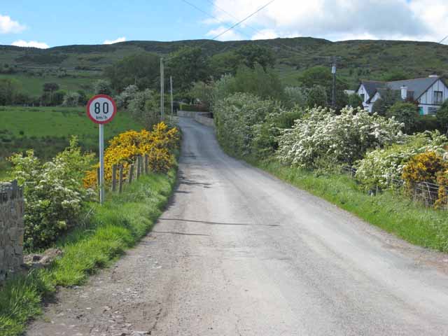 IndicatedHoly well · 231 yd
 TobernabolgogyHoly well · 1177 yd
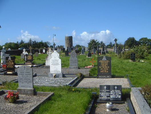 graveyard/cemeterygraveyard/cemetery · 1608 yd
 Grave of WB YeatsHeritage attraction · 1688 yd
 Saint Columba's Church (Drumcliff)church/chapel · 1689 yd
 Drumcliff CemeteryGraveyard · 1692 yd
 CastleCastle, unclassified · 1.0 mi
 Floods WoodForest · 2.1 mi
 Castle (in Ruins)Castle, unclassified · 2.1 mi
 Finned PointHeadland · 2.2 mi
 Paddy McGowan's WoodWood · 2.4 mi
 Oyster IslandIslet · 2.6 mi